Category Archives: 2021

Glenkinchie-Peaston

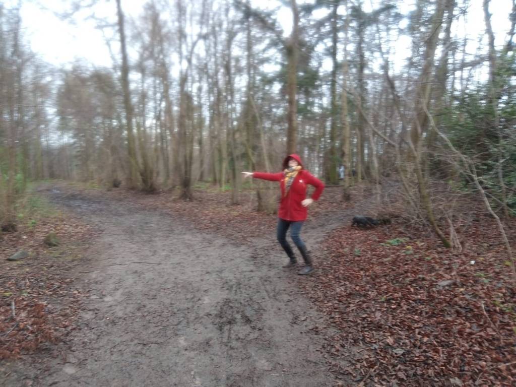
It has been a while since I posted one of these walks – the whole summer in fact – down having relocated to the isle Arran for a while to spend a season or three researching its antiquities.

The photos for this post were taken ages ago, actually, but here I am finally writing the words. This won’t be the last post, btw, I do head back to God’s country / the Shire, etc from time to time & so Walking East Lothian shall continue, for now, but with a certain sense of sporadicness.

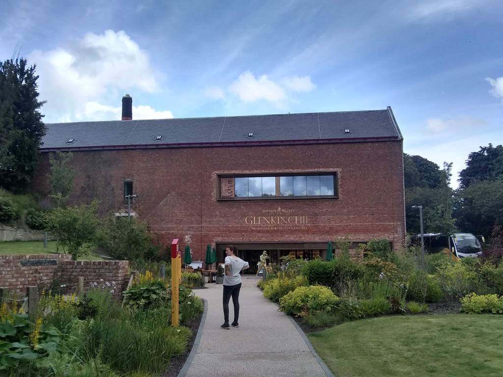
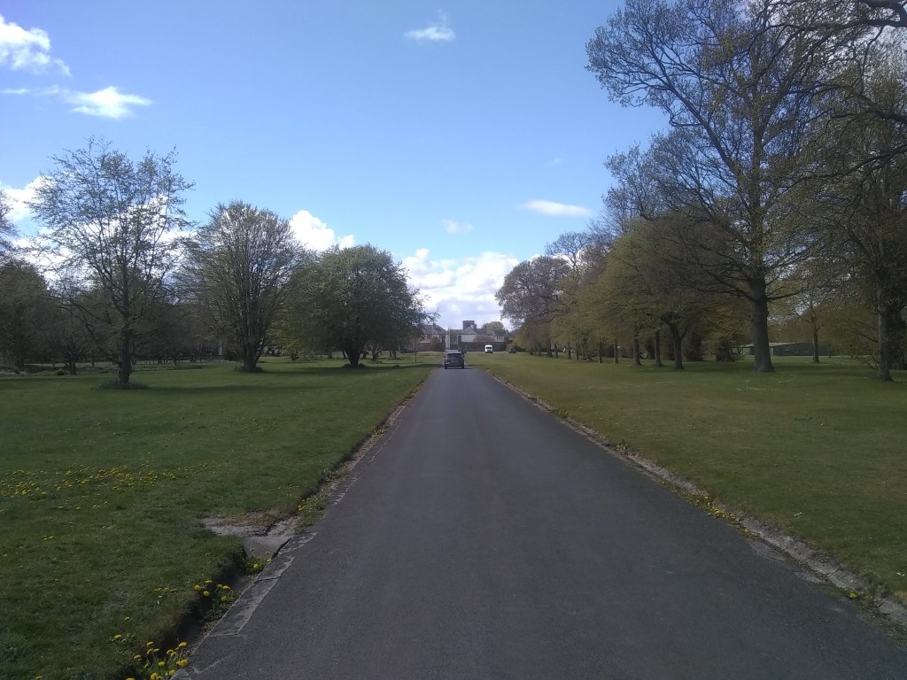
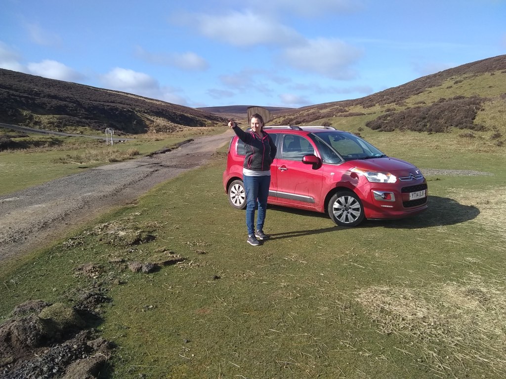
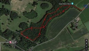
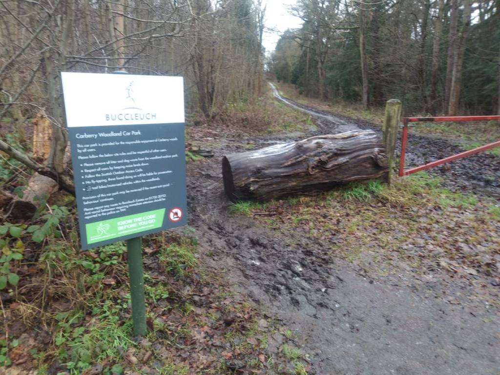
This walk begins by parking the car at the Glenkinchie Distillery visitor’s centre. Its free, but the whiskey cocktails aren’t. What a hidden jewel is this Victorian distillery, the Lowland Home of Johnnie Walker where its Edinburgh malt is distill’d. It has a great visitors’ recently renovated & & a fine place to buy refreshments before, or after, this walk.

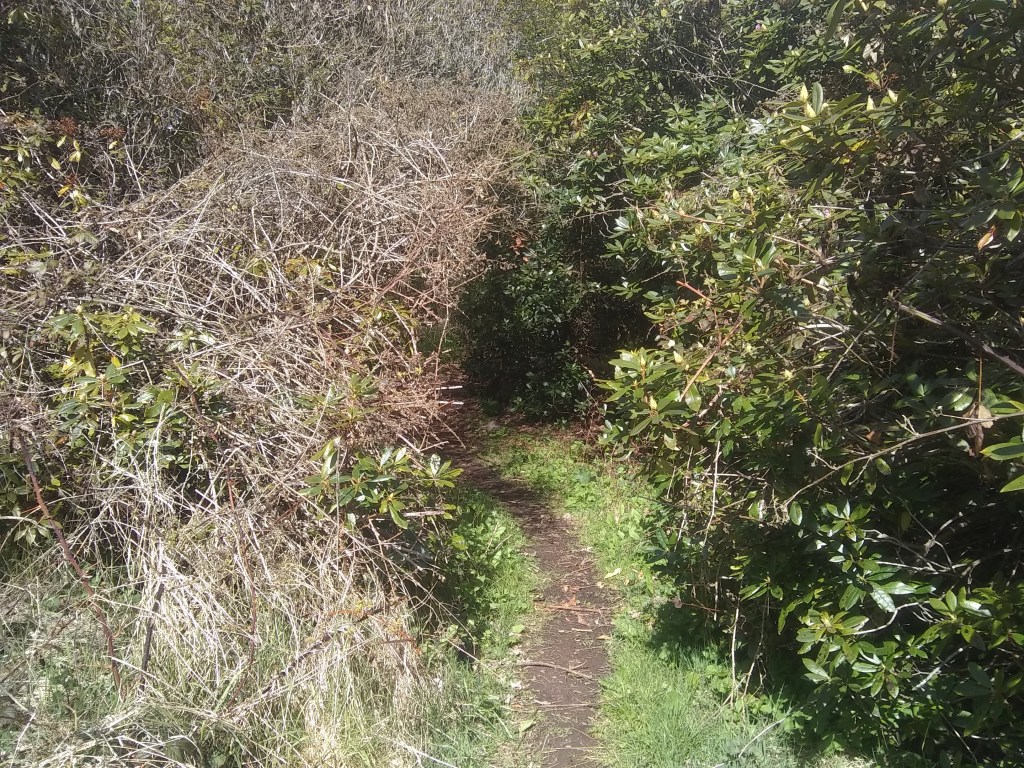
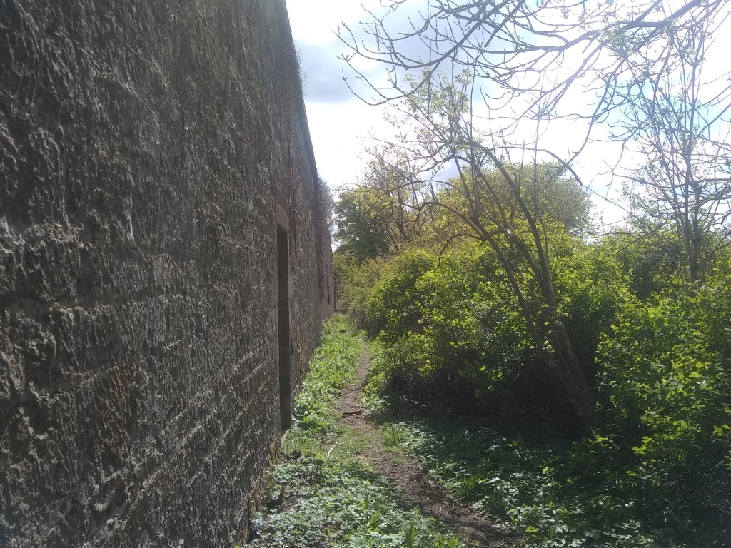
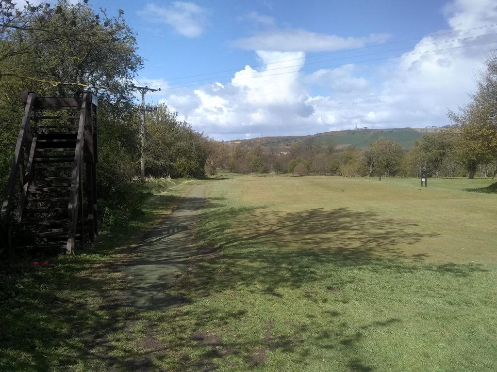
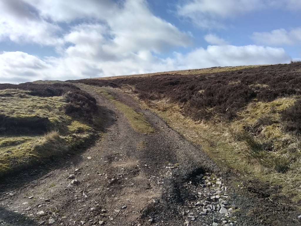
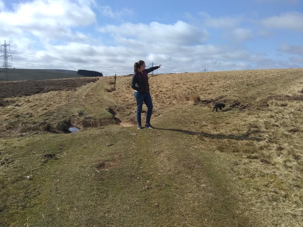
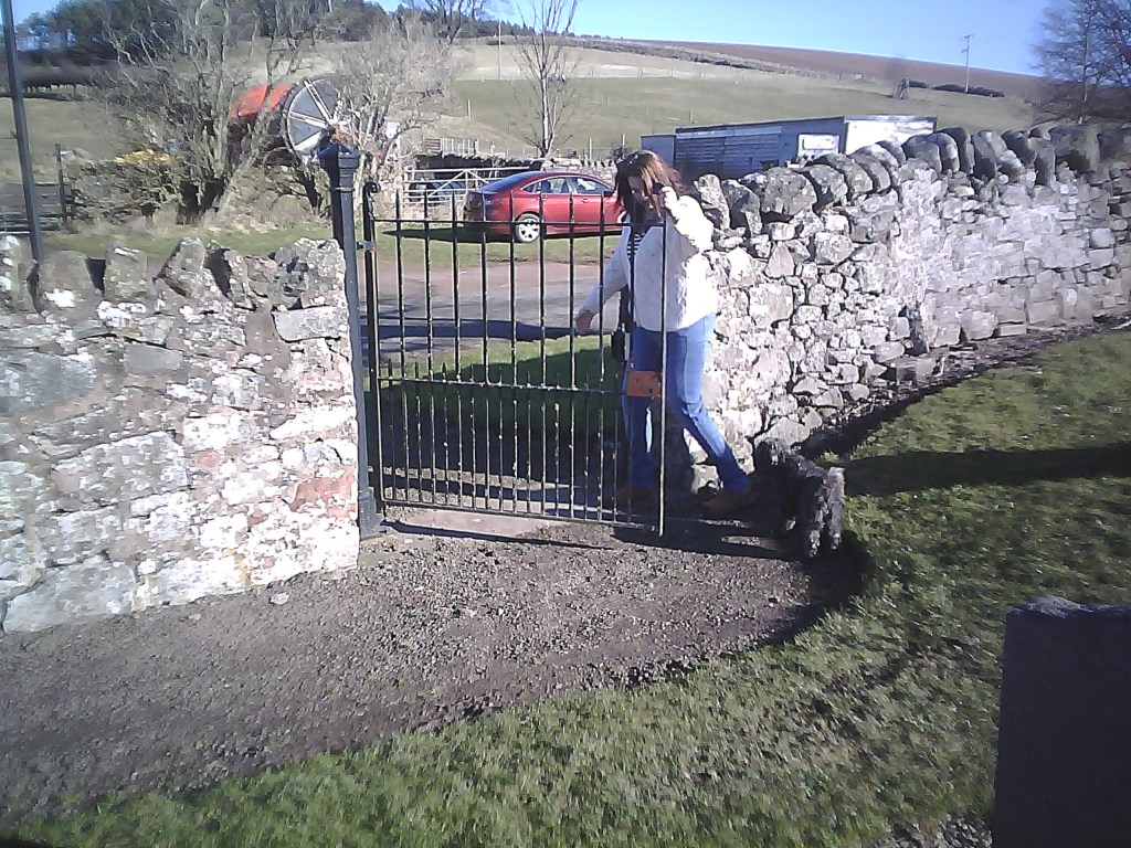
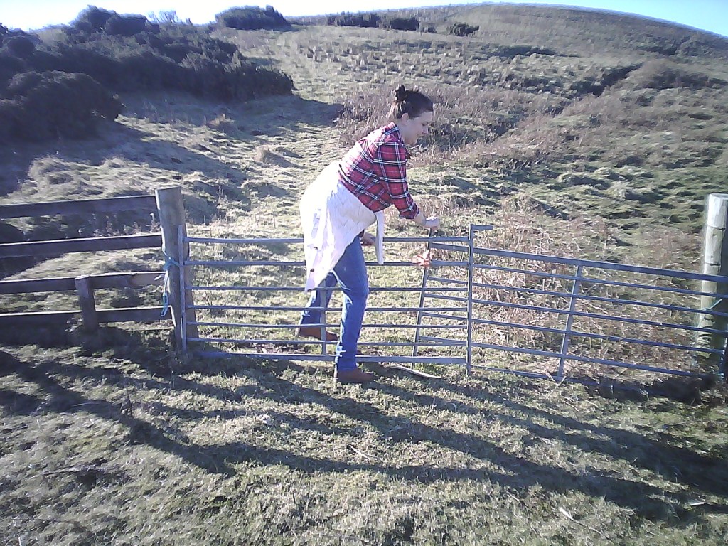
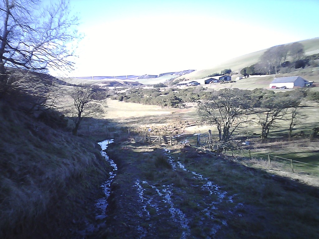
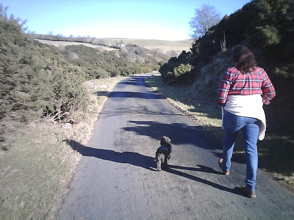
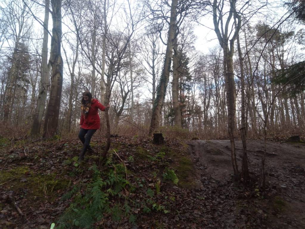
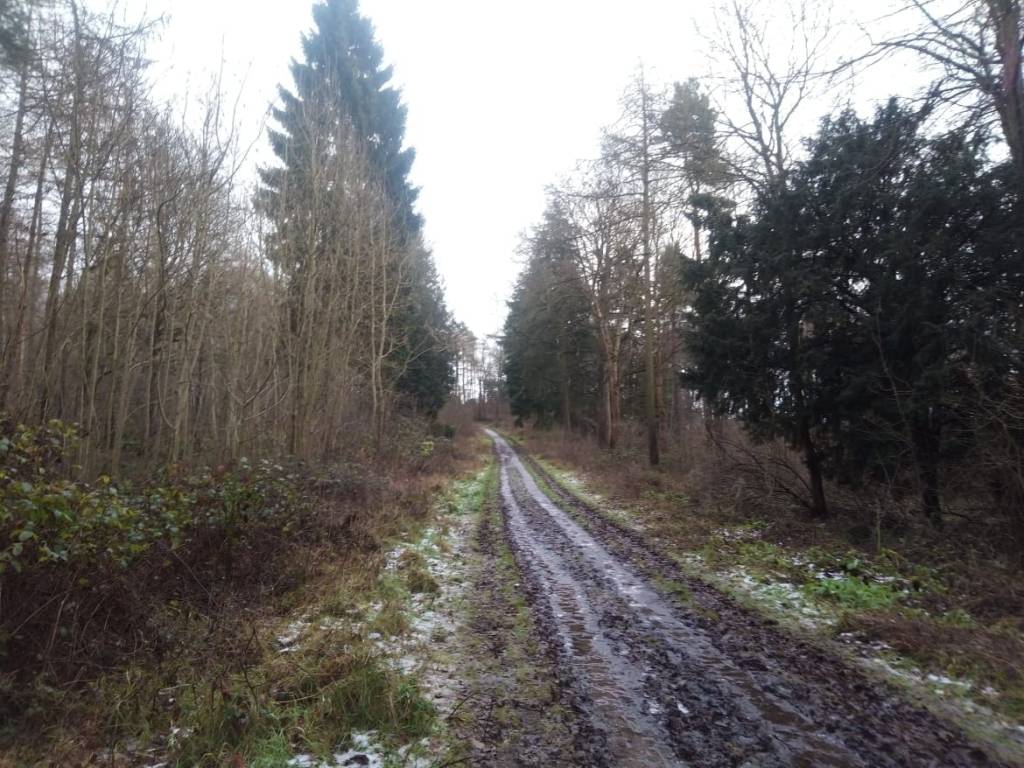
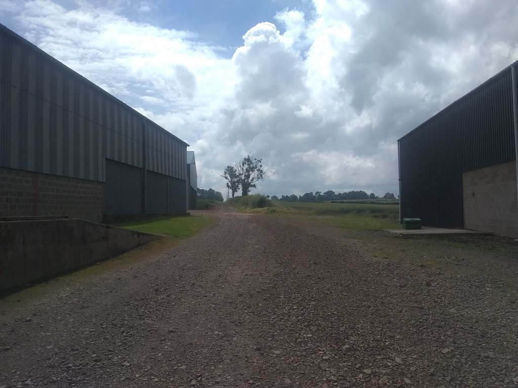
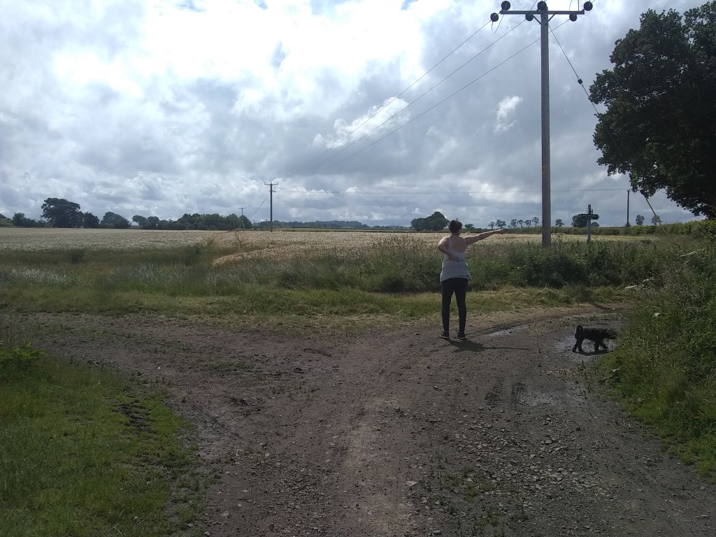
As for the walk itself its very simple. From the distillery simply walk up the hill by all the lovely old cottages until you reach a farm complex on the right.

Looking back towards the car park

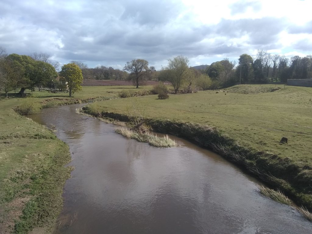
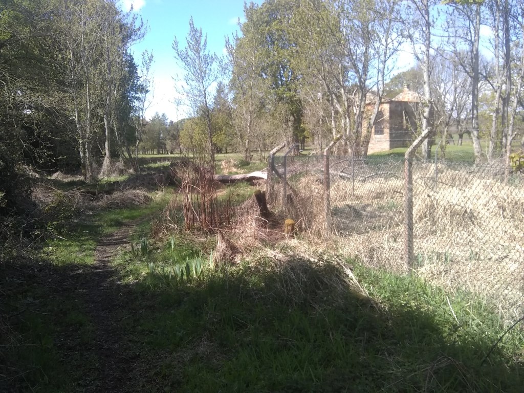
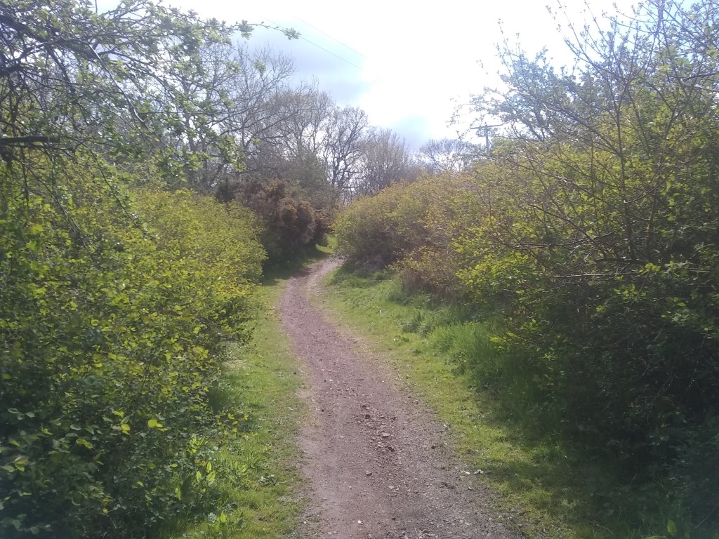
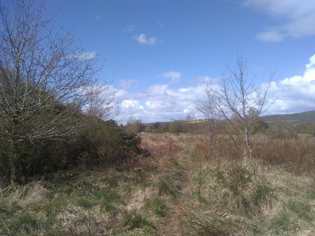
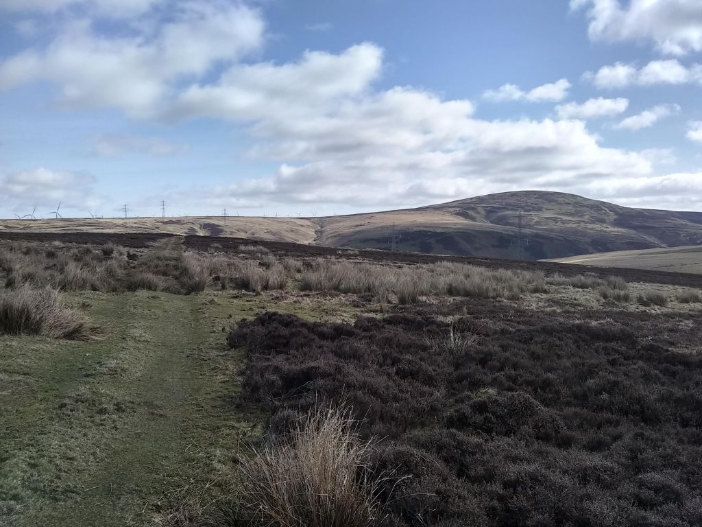
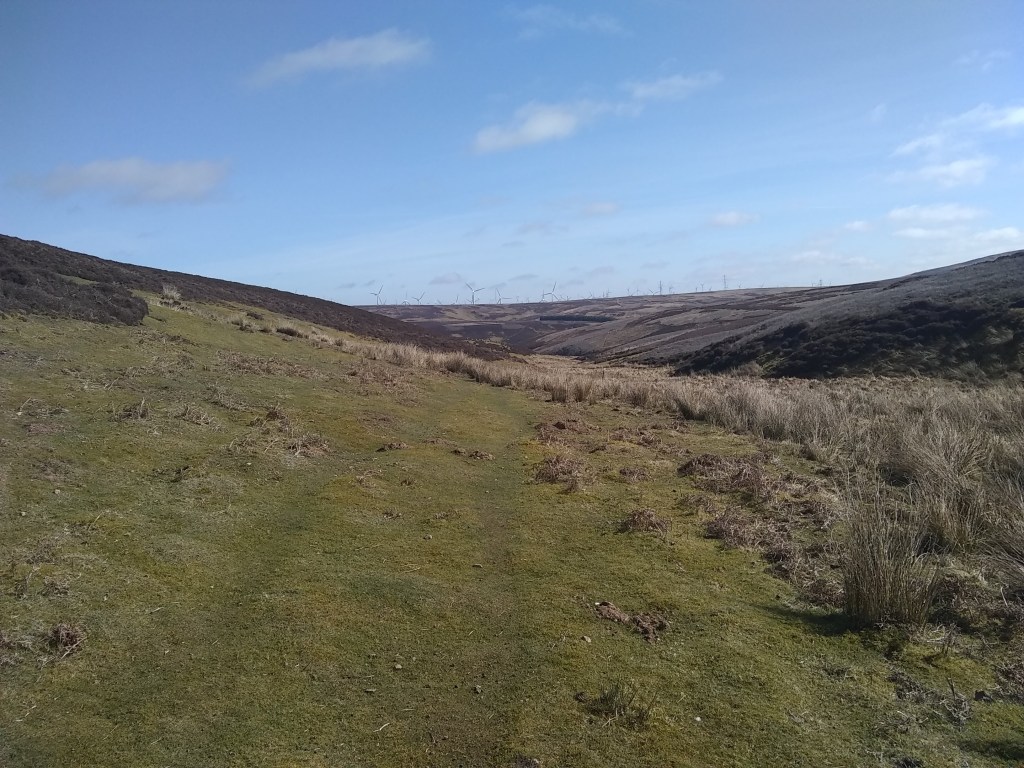
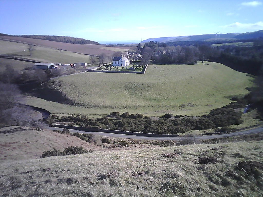
You’ll see the gate to a farm track which you’ll hop over & head towards the fields, the distant Lammermuirs crowning the scene, while to the right the plains of Lothian sweep all the way to the capital & the Pentland’s massif,

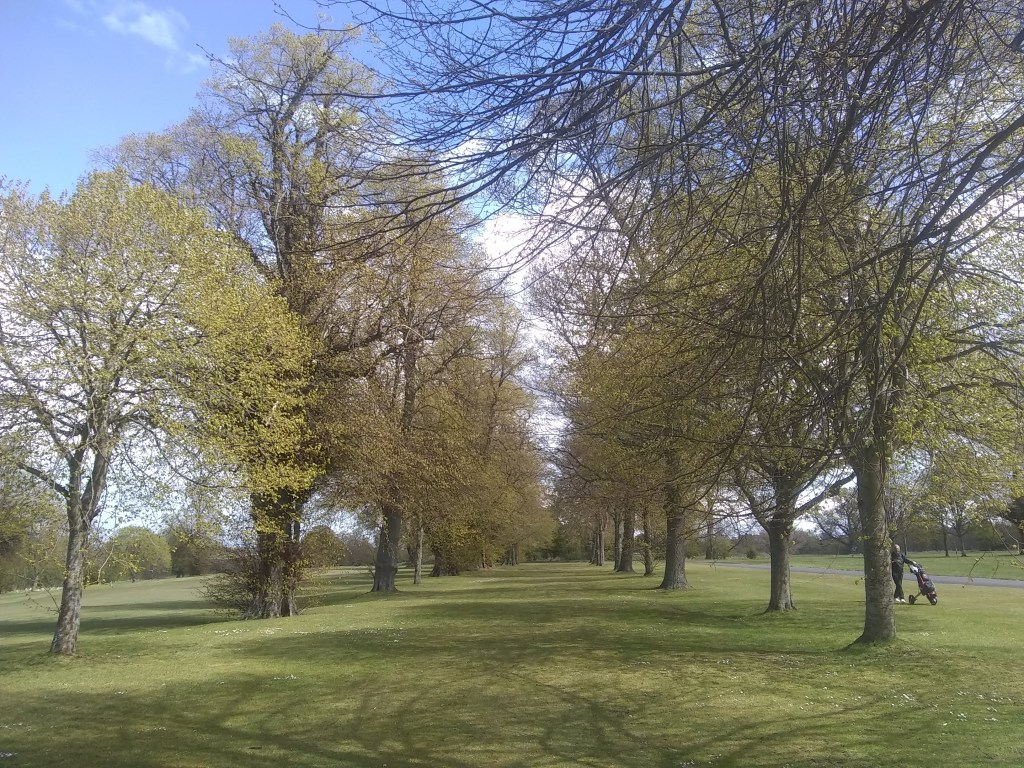
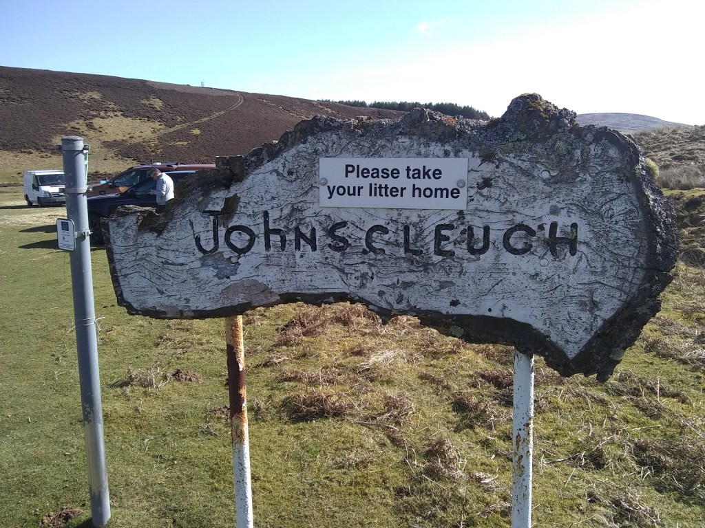
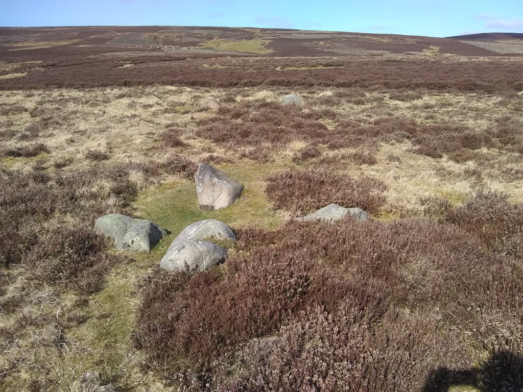
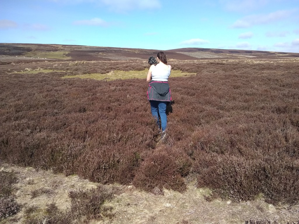
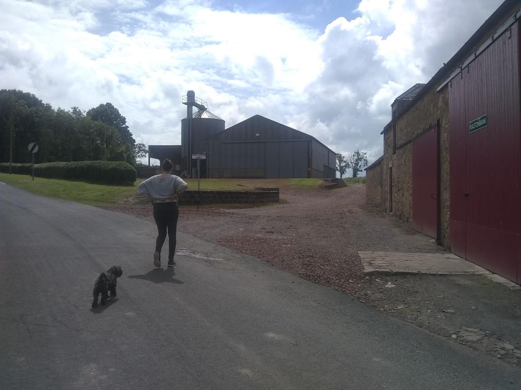
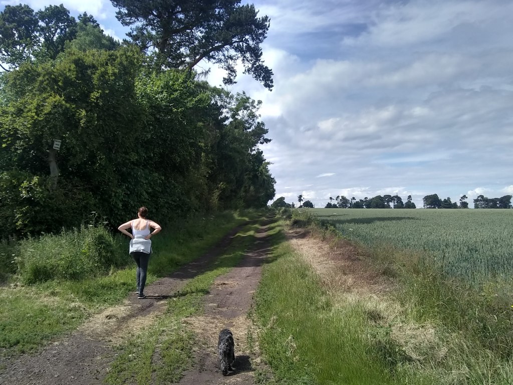
As you follow the track you’ll realise that Peaston is indeed one of the most pleasant plateaus in the county, whose delightful agricultural setting serves as a suitable tonic to the stresses & vigours of modernity.

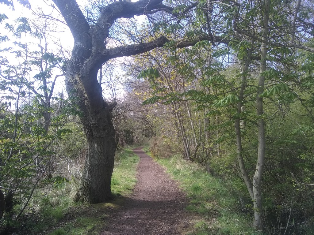
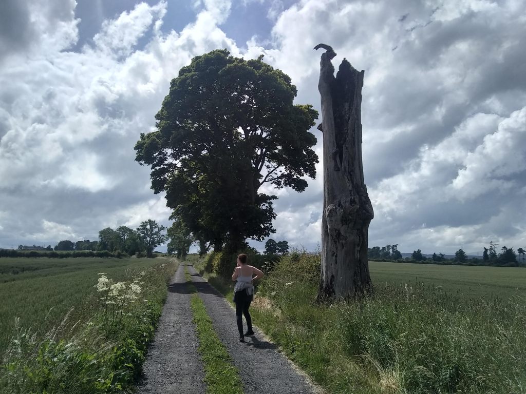
It’s a short, uncomplicated, linear, walk is this one – rather like the very first Walking East Lothian post at Fa’side Castle – but you can go there & back, remember, & grab a whiskey cocktail too, remember!

Turn right along the main road

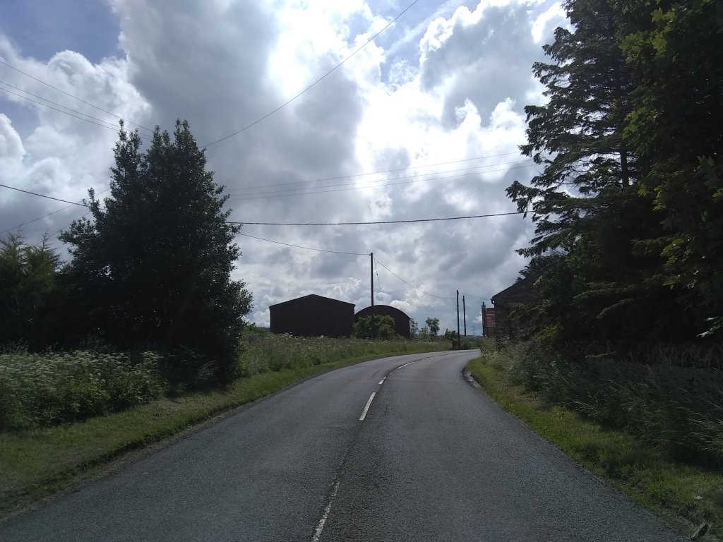
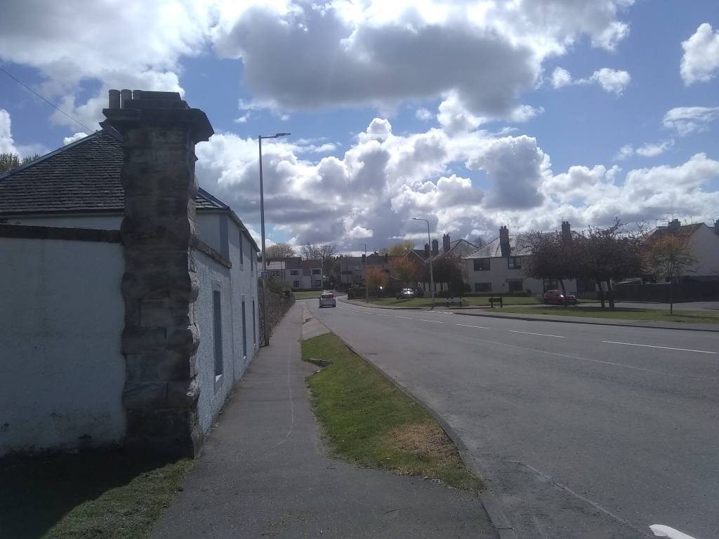
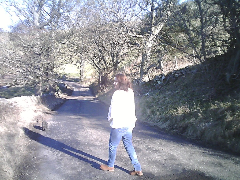
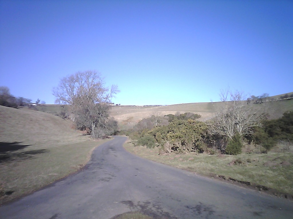
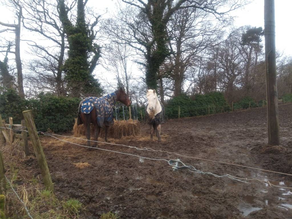
So, after a couple of right angle turns, passing some pretty bungalows & their gardens, you & your party will finally come to the main road & Peaston itself. Now this place is notorious is local folklore. This is a hamlet in upheaval – the cottages are being renovated & looking great as the two before-after photos show.

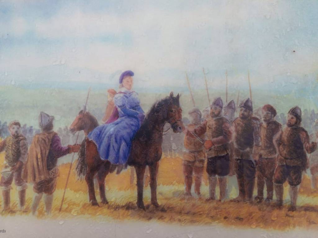
The place has a long history, with the land being acquired by Baron Nicholas Thompson in 1172, where he built a small farm and enslaved locals from the neighbouring villages as farmhands. So just as the farm began life in human tyranny, so thus it endeth.

Andrew Riddell was a tenant farmer of Peaston, as were father & father’s father, etc. Then the Salvesons turn up with loads of cash, buy loads of land in the locality, & despicably turf him & his family out of livelihood & home. It was a clear case of big wallet-little wallet, & despite Riddell winning land tenure at the first court case a second hearing at the Scottish Supreme Court, after huge swathes of donations & the masonic shakings of greas’d up palms, changed the verdict. Here’s some chat from the news of April 2013.


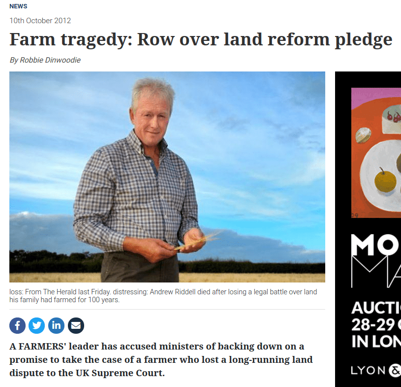
In the upheld appeal, senior judge Lord Gill ruled that measures put in place to protect tenants in such areas were not compatible with the European Convention on Human Rights. Angus McCall, chairman of the Scottish Tenant Farmers’ Association, of which Mr Riddell was a director, has described his “incredulity” that the SNP Government may not follow up on its plans to appeal the ruling at Britain’s highest court. Mr McCall added that he was shocked and dismayed to hear the Government may not proceed with its appeal. He said it had been indicated a Government legal challenge was certain and his association was even told it had been lodged last April, with the prospect it would be fast-tracked for a hearing next spring. The Herald has now established it is by no means certain this appeal to the UK Supreme Court will take place. A Scottish Government spokeswoman said: “The Scottish Government is currently considering its position following the conclusion of the Salvesen v Riddell court proceedings. Lord Gill’s ruling shocked the Government and the land reform lobby in equal measure as it gave precedence to the right to property under the European Convention on Human Rights over whether a public interest argument was proportionate and compatible. Land campaigner Andy Wightman said he too had been led to assume the ruling would be challenged, saying it would be disgraceful if ministers failed to put up a fight for the will of the Scottish Parliament.


It had been 10 years since he’d received the initial ‘notice to quit’ – a whole decade of stress which ended in double tragedy, with Riddell shooting himself & then the house lying empty to this day, unused & uncar’d for by the swollen Salveson family, just as long as they won the battle of alien pride versus native dignity.

No more would Riddell receive such accolades throughout his arable farming career in the Lothians, twice winning the local Haddington Show ‘farm of the year’ competition and winning spring wheat and barley competitions many times, including the year of his passing. No more would Peaston stand out as a model East Lothian Farm and it was due to Andrew’s ability and drive.

It’s possible to have a little potter about the farm, which has now taken on the phenomena of a haunted house as such. For me it’s testament to backslapping billionaires who care nothing for the traditions of the settlements they barge into.

So not the cheeriest note, I know, to end the first phase of Walking East Lothian – but the story must be told as it had a profound effect on the community & is knitted into the fabric of the Ormistinean psyche – huge numbers of people from far and near, including Riddell’s four children, attended the service of thanksgiving for his life in Yester Parish Church in Gifford.

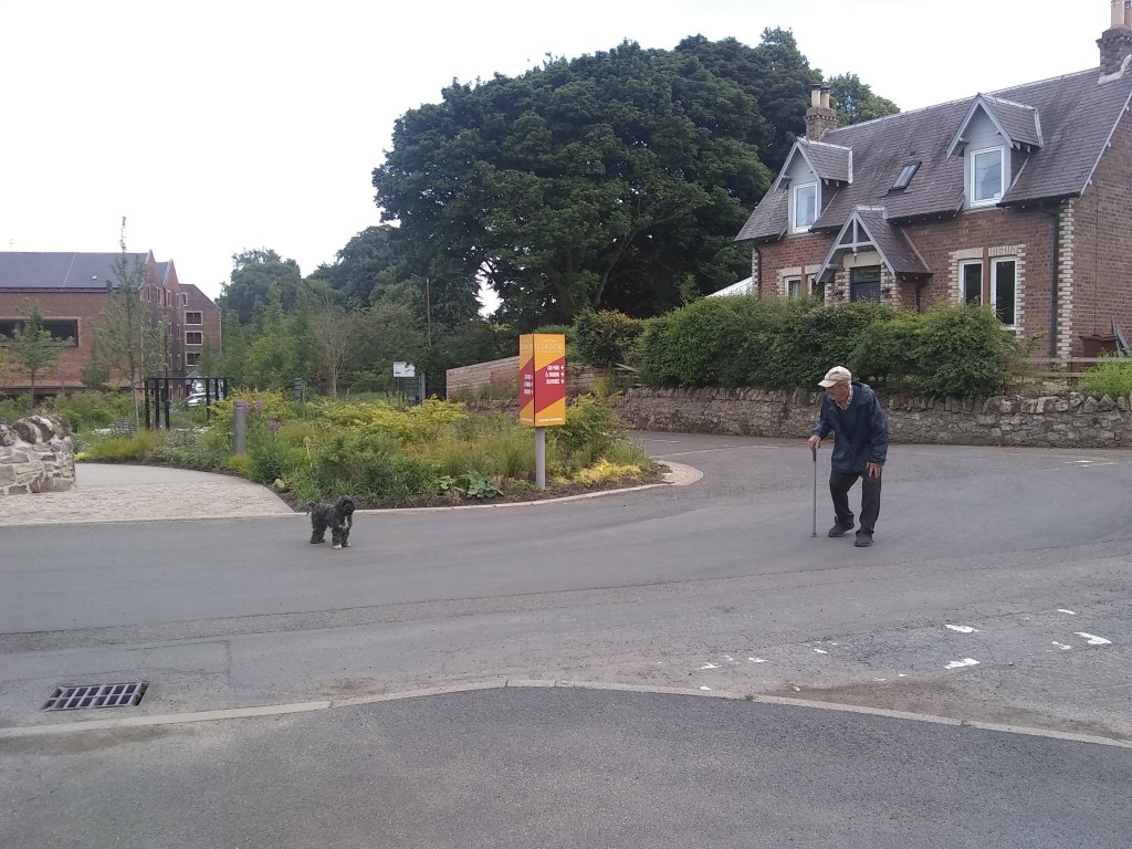
As for my declaration of ending the first phase of W.E.L., my blog will be lasting as long as my little dog Daisy skips across the topsoil of this planet with her slightly manic eyes, & I’m sure I’ll always be drawn to East Lothian’s poetical beacon of the soul.

Amisfield

Its back to the county capital for this latest walk, & a lovely delve into the forgotten landscape of Amisfield Park, elegant home in the modern-day to the Haddington Golf Club.

The best place to park the car is in the vicinity of St Martin’s Kirk, a robust Romanesque ruin on the edges of the Haddington’s oldest quarter. Tho John Knox might have attended services in St Martin’s as a boy, the church’s chancel was destroyed during the Protestant Reformation in 1560, of which Knox was the primary architect.

But let’s not try such a large digression at such an early part of the walk. Instead head towards the football courts & skatepark area, beyond which to the left is a footbridge over the River Tyne.

Once over the water turn right, where beyondthe playpark is a footpath that shoots straight as an arrow by the side of the Tyne. Take this.

You are now coming to a fine bridge which you must surmount. To do this head left & up onto the road, heading right. At this point on the left is Abbeymill Farm, which is roughly the location of the original Cistercian abbey founded in 1139 by Countess Ada of Northumberland, who married Prince Henry, heir of David I, & received the lands as a wedding gift from the King of Scotland.

Following the tarmac in the direction of the Lammermuirs, you soon reach some estate walls to the right, & a little after an old lodge house & the entrance to Amisfield.

Through the entrance & a little to the left rise the epic fortifices of the Amisfield Wall’d Garden, where we shall be wandering for a wee while. You’ll always find this vast walled garden, with its four sprectacular circular corner pavilions, buzzing with those green-fingered, lottery-funded volunteers who have in the past few years transformed the garden from an overgrown wasteland to a vibrant horticultural paradise selling its own produce & educating teh community. If you want to volunteer yourself, contact: volunteers@amisfield.org.uk.

The garden is a true relic of Amisfield’s once glorious & noble past, a forgotten landscape pleasant parkland now home to Haddington golf club. Following four centuries of Cisterican singing, the abbey declined with the Reformation & the lands disposed of in 1560.

The first known house on the site was Newmills, built in 1681 together with a mill on the River Tyne. Its owner was Englishman, Colonel James Stanfield, a relic of the Cromwellian assault on Scotland & eventual MP for East Lothian in the Scots parliament. By 1686 Stanfield found himself in some financial difficulty due to the extravagance of his wayward son Philip and was preparing to sell off assets to pay the debts when he suddenly met an untimely death, that set the scene for a terrible trial for murder. Phillip was the clear candidate, having recently been disinherited for his debauchery, with Amisfield being willed to the second son, John Stansfield. Philip Stansfield drunkenly declared he would cut his father’s throat, and lo & behold thats just what happened to James, discovered in his bed with blood spurting out of the side of his neck. An Edinburgh jury found the prisoner guilty of all the facts laid in the indictment —- viz. of treason, cursing his father, and being accessory to his murder. with the Lords of Justiciary ordering him to be hanged on the 15th of February, 1688 at the Cross of Edinburgh, and his tongue to be cut out for cursing his father, and his right hand to be cut off for the parricide, and his head to be put upon the East Port of Haddington, as nearest to the place of murder, and his body to be hung up in chains betwixt Leith and Edinburgh, and his lands and goods to be confiscated for the treason.

Next into Newmills & with it the change of name to Amisfield, Francis Charteris. He’d named it Amisfield after the ancestral family estate, near Dumfries. He was a womanising, duelling, professional gambler who amassed a vast fortune by tricking the wealthy out of money & lending back at exorbitant interest. He is said to have bewitch’d £3000 from the Duchess of Queensberry using mirrors. He was also accused of raping a woman servant, convicted & sent to Newgate. Fog’s Weekly Journal of 14 March 1730 reported ‘We hear no Rapes have been committed for three Weeks past. Colonel Francis Charteris is still in Newgate.’
As a convicted felon, his property should have been forfeit under the doctrine of attainder, but he petitioned the King for its return. In composition (fine) for his offence, he paid substantial sums to the Sheriffs of London and Middlesex. He was also suspected of having given substantial gifts to various important individuals. Jonathan Swift commented on Charteris in several poems. In Lines on the Death of Dr. Swift (1731), he explains “Chartres” as, “a most infamous, vile scoundrel, grown from a foot-boy, or worse, to a prodigious fortune both in England and Scotland: he had a way of insinuating himself into all Ministers under every change, either as pimp, flatterer, or informer. He was tried at seventy for a rape, and came off by sacrificing a great part of his fortune.”

Charteris was the inspiration for characters in William Hogarth’s paintings, A Rake’s Progress and A Harlot’s Progress (where he is represented as the fat lecher in the first plate), and in Fanny Hill. He was condemned by Alexander Pope in his Moral Essay III, written in 1733. Parallels were drawn between Charteris’ sexual excesses and the greed of politicians such as Robert Walpole.

His son was a much better man – another Francis – who commission’d English palladian architect, Isaac Ware, to Amisfield House in 1755 for and extensively remodelled the landscape. Built in red coloured Garvald freestone, the mansion house had a seven-bayed frontage & ionic portico, & it is a true loss to the people of Haddington & beyond.
This Francis, the 7th Earl of Wemyss through marriage, built eight acre the walled garden, which started off life off cultivating tropical fruits including pineapples. This ‘called pinery-vinery’ meant the consumption of vast resources such as a constant source of heat.

The Earl then moved to Gosford near Longniddry, but kept Amisfield going. During the 19th century the parkland played host to the Tyneside Games held annually for 20 years from 1833. Up to 6000 spectators would gather to watch ‘sports’ between all classes of locals – including gentry – such as quoiting, putting the balls, sack races, & the great final race – a run along the river Tyne for a mile & back the other side. The race finish’d by runn thro the river then up a slope of a 100 yards to winning post. A contemprary account describes the final frantic dash.

IN they rushed, the water being so deep as to cover them to the shoulders, & pressing through the stream, happy was he who put his foot upon the side, & came in winner amidst the shouts of the assembled multitude.

The palladian mansion house was demolished a century ago – the site is now occupied by Haddington Golf Club’s clubhouse – tho’ the avenue of ancient lime trees & rococo summerhouse still remain.
Amisfield also saw service during the wars as both a miltary camp a POW camp. The grounds of Amisfield House were first used as a military training camp for the Lothian and Borders Horse Regiment in the First World War. The house was used as accommodation for the officers, and wooden huts were constructed in the park for the soldiers. Football fields and parades grounds were provide on the low ground by the river. A large practice trench system was also built by the river.

During the Second World War units including the Sherwood Foresters and the Polish 10th Mounted Rifles were accommodated at the camp. Part or all of the camp may have been adapted to the Prisoner of War camp in 1944, from where Karl Lasar, aged forty-four, escaped from a working party in Haddington in 1945. PC Erskine related the details in his report:

“On Sunday, 18th April 1948, about 4.20pm, the skeleton of a human being was found on the west banking of the disused quarry situated about 200 yards east from the Birk Hedges Road, in the parish of Haddington, and the remains are suspected to be those of No A989611 Karl Lasar, (44), PoW, who was an inmate of No 16A Prisoner of War Camp, Amisfield Park, Haddington, who went missing from a working party employed at Dovecot Farm, Haddington, on 7th September, 1945. The cause of death is not certified.”

It’s more than likely that Karl took his own life as Willie Downey, one of the three young boys who made the unpleasant discovery, described in 1998. He described how the boys were looking for frog spawn in the Spring of 1948 when one of them kicked what he thought was a sheep’s head in the water. A closer look led to the realisation that it was a human skull with the remains of boots and a uniform with patches nearby. Willie noticed a length of hemp rope hanging from a nearby tree which overhung the quarry and remembered that identity discs were discovered along with a watch.

So there we have it – lots & lots of history for Amisfield Park. As for the rest of the walk, return to the entrance to the Walled Garden & turn left, then left again keeping the wall to your left. You’ve now entered a bit of woodland. If you want to see the summerhouse, at a fork in the path turn right, follow the trail to the tarmac path, then cross it & drop down througmore woods to the summerhouse. After checking it out then follow the gold fourse edge a few metres then turn left up onto the tarmac & return the way you came.

Back at the woodland fork, keep the wall to your left & follow it all the way round to the fourth corner. Here you’ll see a path heading left – take this.

After a while you’ll come to an opening in the estate wall, & a little further a pedestrian gate. The gate leads onto a fairly quiet road which you can follow back to the car, or alternatively skirt the golf course to its main road, turn left, & reach the area where across the green lies St Martin’s kirk.

NIne Stone Rig

The Easter Holidays are here, so its time for a really fun, adventurous walk to entertain the kids & the kids inside us all. Put your boots or wellies on, by the way, cos there will be a boggy bit.

This image has an empty alt attribute; its file name is x-click-but21.gif

It begins at Johnscleugh – an lovely open, level green space on the winding & often windy road between Garvald & Whiteadder. Its a great place to park & even camp up overnight if you so wish.

Our walk begins by heading thro’ some gates, hopping over a little bridge & turning right along the tarmac track..

After a wee while of valley bottom floating you’ll come to a gate. You can continue through it in the direction of Spartleton, a lovely walk we’ve done almost three years ago; but for us its a right turn, a hop over the stream & an ascent to the road. Marvellous fun.

The ascent up to the road

At the road turn left, head uphill a little way, then take the track in the photograph below.

You are now in shooting country – that despicable humiliation & mass murder of innocent animals branded as ‘sport’ by the same degenerate minds that thought it was OK to build empires on the ancient lands of disparate peoples across the world. The status of shooting in Scotland at the moment reminds me of when I first came to Scotland in the Naughties & was shocked to discover that female bagpipers had been banned by the patriarchy who ran bagpiping. Its the same for shooting – there’s only so many bribes, bungs & old boys’ slap on the backs before the whole house of genocidal cards comes crashing down & the vast swathes of shooting moorland in Scotland – about 15 percent of the total landmass – be used for agriculture, farming, public parks or housing – rather than for the grotesque fun of a tiny minority.

Whenever you see heather being burnt in the hills – its called muirburn – the idea is that the grouse that are shipped in Auschwitz style every summer from their nursery pens will be feeding on the green shoots from the regrowing heather. There’s also the untold suffering of thousands of animals that are trapped, snared and killed to protect grouse shooting for the pleasure of rather sick groups of individuals. The scale of the suffering for Scotland’s wildlife is simply shocking. For those interested in participating in or watching the decline of Scotland’s worst criminals, here’s a link to REVIVE, a group committed to transforming the face of Scotland for the better.

That’s my rant over, but if you do do this walk later in this year – hopefully there wont be many more years of this monstrosity of the human condition -, at least be aware of birds in the heather & if your dogs a chaser be prepared for a guy in tweed & a landrover turning up as if by magic to tell you off – its a case of ‘excuse me your dog is disturbing the birds that we want to kill with mindless abandon.’

So, back to the walk, & we’re now going to try & track down two extremely ancient sites. Follow the track for a wee while til you come to a fork. Take the right prong, pass beyond the avenue of ‘Grouse Butts’ which peel off for the right, & head for a good distance til another small avenue again peels off to the right.

track to the ‘Nine Stones’

Just a few meters along this new track you’ll come to the Nine Stones themselves which give a name to the ‘rig’ or open hill which slopes gently above us. The Nine Stones are a rough circle of nine low boulders a little over 6 metres across and the stones are generally under a metre tall and under two metres in length. For me this, & other stone circles, are agricultural calendars, when sunrises & moonrise, etc, dictate when to plant or harvest kindathing.

An intriguing entry taken from a Name Book of 1853 says: “A circle of nine stones. It is believed that some treasure is hidden beneath these stones and various attempts, all unsuccessful, have been made to find it.” This treasure hunting leads us to 1980, when Canmore tells us: “These stones once stood on the perimeter of a ring about 6.4m in diameter … The uneven interior suggests digging has taken place here.”

Nine Stone Rig from the air – the circle is centre left, slightly down
The two gullies in the flanks of the hill – the left hand one is in the centre of the photo, the right hand one over Grouse Butt number 9

It is now time to find our second ancient set of stones, which are a veritable stone’s throw away (if he have a Byzantine trebuchet that is). To get there involves muddying those boots if its been wet recently. If you face west you will see two small ravines in the far distant hill. At the bottom of the left one lie the Craw Stones.

Back on the track

To get to the stones, go back to the track & follow it for a while as it veers to the right. Then when you get to the rough point in photo below, its time to head across the heather.

Time to cross the heather

After crossing Crow Moss, East Lothian’s version of Tolkien’s Dead Marshes – keep to the heather remember, they are dry – you will come to the Crow Stones. They are a little irregular for a circle, & were probably an oval, but a series of four low stones, 5ft apart diagonally, may be related to the Four-Posters of central Scotland.

It is now time to head back to Johnscleugh – if you do an about face you’ll see in the directions of the wind turbines a narrow valley in the distance, to the left of Nine Stone Rig hill. The idea is to head towards this while slowly veering left towards the ‘South Grain’. There’ll be seas of heather, bits of bogs & simply stunning open spaces, so enjoy the yomp. Then after crossing the South Grain head up the track to the white pole.

The South Grain is hidden in the grasses

It’s now time for the lollop back to the car. Up & over the hill you’ll come to another stream, over which you’ll turn immediately right & take the gentle streamside amble back to Johnscleugh – it really is a charming end to the whole, walk by the end of which you’ll be well buzzing about your trip to one the most ancient sites of East Lothian.

The stream is at the foot of the hill – turn right once over it
Me & Daisy heading back
Approaching the car…

To contribute petrol & pet food

Please make a donation

***

This image has an empty alt attribute; its file name is x-click-but21.gif

Oldhamstocks

Well that was a bit wintry, wasn’t it. I’ve been saving up this latest walk for a weeks now, but there was never a day when I was free & the weather was good enough for photos – until last Saturday! A beautiful pre-spring day, the thermo hit double figure, with 12 degrees feeling like twenty as my body began its thaw from hibernation. Talking of photos, I’ve just got a new camera & its from China & I haven’t quite figured out the instructions, which will explain the certain brightness in some of the shots on an especially bright day.

To get to Oldhamstocks, hit the A1 & head towards England passing Dunbar. When you see the Innerwick turning, take this road, & take an immediate left to Oldhamstocks, which is signposted. This road is now a pleasant drive thro rolling hills until you reach Oldhamstocks village at a T-junction – turn left & creep slowly towards the green, where you can park up anywhere really.

I love Oldhamstocks, me, its got a funky, medieval vibe to it; scattered Portmeirionesque houses surrounding an open green, pierced only by its mercat cross, this is a time capsule of cul-de-sace loveliness hidden deep in the eastern Lammermuirs.

The Old Schoolhouse

The first port of call is a potter round kirk & kirkyard. The kirk is an impressive whitewashed affair with one very old section, which is the main chapel still. Inside there’s a series of history boards which perhaps need a redoing, a little jaded & faded & parts, but the information on the village is there which will please all history buffs. As a religious centre, the kirk goes way back to at least 1127, when we hear of Adulf, priest of Aldehamstoc.

Out into the kirkyard, you get your first taste of the delicious scenery, including the ridge to the north which we shall be topping in a little while. To get there head out through a gate in the kirkyard wall & turn left.

You are now on a very unbusy road, which drops down into the valley. On reaching a little river, pass through the gate & you’ll soon come to transport hub of sorts – a triangular intersection of three roads. Here head straight forward.

Head Right
Daisy having a drink

After a wee while a gorgeous glen opens up, the heart of a hilly basin with farmhouses in the distance. To the left is a fenced off field & slopes leading up to the aforementioned ridge. Turn left & head towards a narrow greenway which climbs the slopes, keeping the fenced off field to your right.

Climbing the greenway, in late February we noticed how a smattering of yellow gorse trumpets were showing face – which along with the crocuses & snowdrops mark the coming of Spring.

Surmounting the ridge, avail yourselves of the opportunity to look back towards Oldhamstocks – a stunning view of the kirk with the North Sea shimmering in the distance.

The gate is by the gorse, left of picture

Facing right you will see a gate in the middle distance – head to this, pass through it, then turn right into a field. You will see here that the path forks – take the left one.

Veer left

A short climb later you will reach the corner of a fenced off field where a tree-stump looks incredibly like a Pictish Stone. At this point you will see a boggy streambed heading down the hill – follow this.

The stream soon dries up at a point where a local farmer must have dug a long drainage ditch – follow this downhill.

You will now come to a a gate at the valley bottom – pass through it & veer right through the field. You will soon come to a cool, man-made stony ford. Cross this & reach the road once again. Its now time for the pleasant amble back to Oldhamstocks along the road.

As we reached the outskirts of the village once more, we passed a sign saying ‘Lammermuir Pipe Organs.’ Such musical instrument makingness reminded me of Oldhamstocks’ most famous son, John Broadwood (1732-1812). From his humble beginnings in the parish school, he would go onto become the piano maker for King George II, with his company, Broadwood and Sons, maintaining the royal appointment right thro’ to King George VI – and still hold the Royal Warrant for piano manufacture.

He inherited his father James Broadwood’s profession, that of a wright or carpenter/joiner, and as a young man walked from Oldhamstocks to London, a distance of almost 400 miles, where he worked for the harpsichord maker Burkat Shudi, & even married his daughter, Barbara. Burkat died in 1773, and John Broadwood took control of the company from his brother-in-law in 1783. Introducing innovations in piano manufacture, & with sales booming, he ceased to manufacture harpsichords in 1793. Innovations in piano manufacture include: adding a separate bridge for the bass notes, patenting the piano pedal in 1783 and expanding the then-standard five octave range upwards by half an octave, in response to a request of Dussek, and then by half an octave downwards.

The Broadwoods have supplied pianos to some of the world’s most recognised musicians such as Chopin & Beethoven. The latter received a six octave Broadwood in 1818, a gift from John’s son, Thomas, which he kept for the rest of his life. Although his impaired hearing may well have prevented him appreciating its tone, he seems to have preferred it to his Erard which had a similar range. Above the company label on the front edge of the pin block the following text can be read: “Hoc Instrumentum est Thomae Broadwood (Londrini) donum propter ingenium illustrissime Beethoven.” [This instrument is a gift from Thomas Broadwood of London in recognition of the most illustrious genius of Beethoven.] As for Chopin, he would play Broadwood instruments whenever in Britain, including at the last concert of his life given at Guildhall, London, in 1848.

So that was our Oldhamstocks walk, one of the finest in the county, with spacious scenery, wonderful vistas, a mixture of terrains & just complete peaceful silence of it all. Hard to find, yes, but well worth the mission. By the way, I’ve decided to return the phone, its camera’s not good enough to capture the county !!


To contribute petrol & petfood

Please make a donation

***

Carberry Woodland

Has it been three years already ! So it appears. Daisy is as sprightly as a puppy still & I’ve got at least another 6 walks planned for 2021, so lets do some more Walking East Lothian.

The first walk of this year was way out west in the most sluchiest conditions, but I’m sure the ground will dry out as the year progressess. It begins by parking the car a few miles west of Elphinstone in the area marked on the map.

The traffic is queit enough, & you must head west about 100 metres towards the trees. There’s a horsefeeding area just before the trees, which has a chest-hair-stripping aroma, believe me.

Just after the woods start there is an archway in the wall, made in 2004 by the Mary Stuart Society. Now that feisty monarch caused a lot of bother in 16th century Scotland; but eventually the dust settl’d & her son, James VI, would go on to unite the crowns & lead to the day in 1890 when Burnley could field ten Scottish players in their side – without work visas!

Carberry Woods are named after Carberry Tower, where we’ll get to one day, but for now we’ll just be having a wander through the impressive woodlands. These are basically a hill, & I always find its better to start a walk going down a hill, rather than up, it just feels better for me. So starting at the top of the hill, you soon come to an old monolith which marks a very famous spot in the history of the Scottish monarchy.

The inscription on the monument reads: “M.R. 1567 At this spot Mary Queen of Scots after the escape of Bothwell mounted her horse and surrendered herself to the Confederate Lords 15 June 1567”. So it was on this very spot that Mary breathed her last ever free air, surrendering herself to the captivity that would see her head removed by Queen Elizabeth of England. The events that led up to the surrender began in February 1567 when her old husband, Darney, was bumped off. Suspicion fell on Lord Bothwell, who was charged with Darnley’s 10 February 1567 murder in April, and was to be prosecuted by Lord Lennox, the dead Darnley’s father.

Lord Lennox never showed up despite being summoned, and Bothwell was acquitted. On 19 April, several Lords of Parliament and other notable men signed the Ainslie Tavern Bond. The Bond declared that the twice-widowed Mary should marry a Scottish subject; this document was then handed to Bothwell. Six days later, Bothwell and an escort of eight hundred armed men intercepted Mary on her way to Linlithgow Palace in Edinburgh. Mary, convinced by Bothwell that danger awaited her in Edinburgh, went with Bothwell to Dunbar. That night, he either sexually assaulted her or Mary consented willingly to Bothwell’s advances. Only Mary and Bothwell know what truly happened. Either way, Mary and Bothwell were quickly married, and Bothwell was expediently elevated to the position of Duke of Orkney.

Most of the Lords of Scotland would not accept this state of affairs & basically a civil war shimmering with religious and political intrigue broke out, leading to a stand off at Carberry in June, 1567. At the top of the hill was the 24-year-old Mary, Bothwell & their soldiers, & at the bottom were the confederate forces of powerful men such as Maitland, Morton, Balfour and Murray of Tullibardine & all led by led by Kirkaldy of Grange. Before them they held up a banner depicting the murdered Darnley with the legend: “Judge and avenge my cause, O Lord”.

The 15 day being sonneday, the armies came within view. The one stood upone Carberry Hills, with 4 regiments of shouldiours, and six field-pieces of brasse: the uther armey stoode over against it, messingers going betwixt them all day till neir night; dureing which parley the Duke fled secretly to Dunbar, and the Queine came and randred herself prisoner to ye Lordis, quho convoyed her to Edinburghe to the Provost’s Lodgeing for yat night; Sr. Symeon Prestone of Craigmillar being Provost for ye time. From the diary of Birrel

Mary and Bothwell, who had spent their last night together at Fa’Side Castle (my first ever Walking East Lothian post) , took up position with their supporters on the higher ground of Carberry Hill. On a very hot & sunny day the two sides faced each other according to time-honoured chivalry, sending messengers across to each side with challenges to combat. There was much hesitation. Monsieur du Croc, the French ambassador, rode out from Edinburgh to mediate. He was deputed by the rebels to implore Mary to abandon Bothwell, and if she did so they would back down and submit to her. She resolutely refused. Challenges to personal combat were issued though none took place. Bothwell challenged Morton who delegated to Lindsay who girded his waist with his great sword called Archibald-the-Cat, handed down from his ancestors. But it all came to nothing. Mary’s supporters began to drift away and by evening she realised that her cause was lost. She decided she would trust the rebels with the safe conduct of Bothwell if she gave herself up to them. She and Bothwell parted and he scarpered to Dunbar & then Denmark.

When she rode into the rebel camp, she was shocked to find that they jeered at her, such had her popularity declined. She was led to Edinburgh and installed in the house of the provost, Simon Preston of Craigmillar, under guard.  Mary’s dress for the day was recorded by William Drury, Marshall of Berwick, who said of her clothing,

The Queen’s apparel in the field was after the fashion of the women of Edinburgh, in a red petticoat, sleeves tied with points a “partlyte,” a velvet hat and muffler. She used great persuasions and encouragements to her people to have tried it by battle. For welcome the Lords showed her the banner with the dead body, which seeing they say that she wished she had never seen him. The banner was hanged out before her window at the Provost’s house, wherewith she seemed much offended.

Thus began her captivity, first in Scotland, then in England, which was only to end with her execution 20 years later.


Stay left to start


At Carberry Woodland you can pretty much choose your own adventure, but I’ll still describe what me, the missus & Daisy did. We basically kept left, keeping open fields beyond, until we kinda turned right & crossed another path. Here we kepy going down something of a slippery slalom, following wee blue arrows nailed into the tree,  & found ourselves keeping right, with open fields beyond.

The slalom section

Cross over the path & keep going downhill

The path then reaches a carpark area, which is out of use. Here, turn sharp left & make your way up the long stretch of track.

This track then bends to the left, crosses the slalom area from before, then arrives a viewpoint. You will find here some interesting boards which point out historical features in the landscape before us.

Carrying on up the hill you’ll come to some more boards which tell the story of the irona hill age fort you’ll be standing amidst. Carberry suggest the Caer of Berry, or Berig, or even a Brych who appears in Y Gododdin.

I glanced on gather’d hosts from Hyddwyn high,
Conflagaration’s ghostly sacrifice,
I saw two leaders from their stations fall,
Gore spills thro’ Nwython’s orders under sword,
Men marching on harmonious… a shout,
When the heads of Brych & Dyvynwal raven-gnaw’d!

From this area you’ll soon be back at the Mary monolith for the short scamper back to the main road & the car. So yeah, this is a multi-puposes walk – genuinely nice woods & views plus a witche’s ladle’s worth of history to boot!


To contribute petrol & petfood

Please make a donation

***