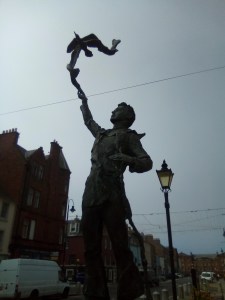
The photos for this post were taken ages ago, actually, but here I am finally writing the words. This won’t be the last post, btw, I do head back to God’s country / the Shire, etc from time to time & so Walking East Lothian shall continue, for now, but with a certain sense of sporadicness.
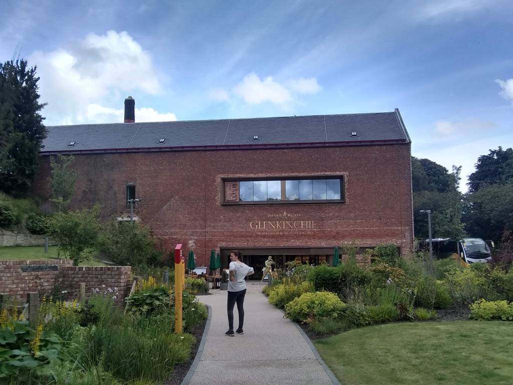
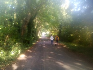
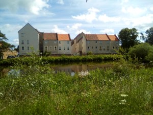
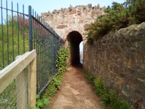
This walk begins by parking the car at the Glenkinchie Distillery visitor’s centre. Its free, but the whiskey cocktails aren’t. What a hidden jewel is this Victorian distillery, the Lowland Home of Johnnie Walker where its Edinburgh malt is distill’d. It has a great visitors’ recently renovated & & a fine place to buy refreshments before, or after, this walk.
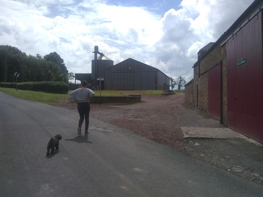
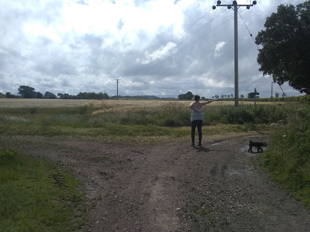
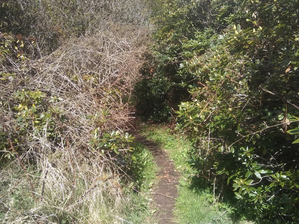
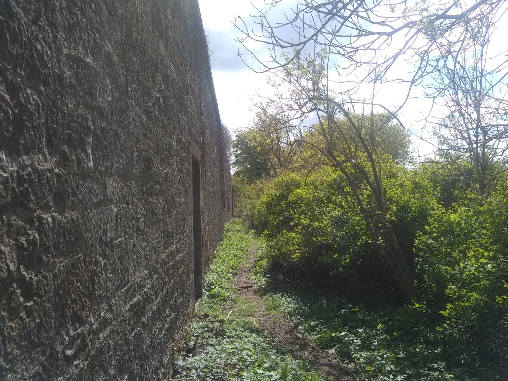
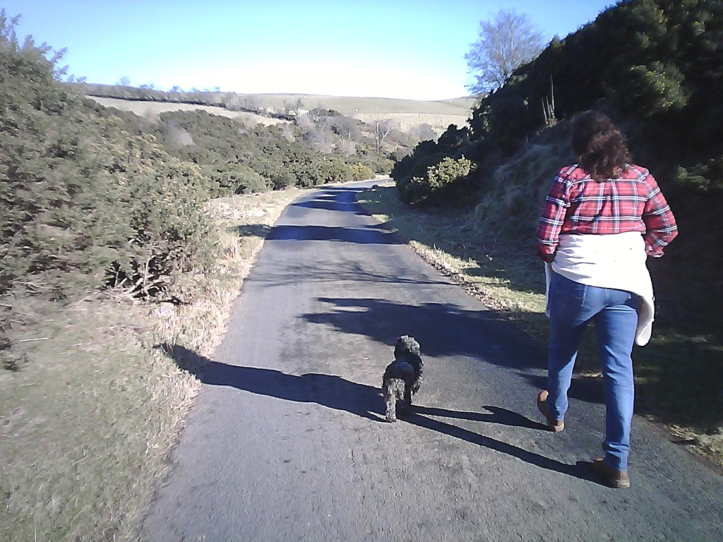
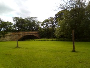
As for the walk itself its very simple. From the distillery simply walk up the hill by all the lovely old cottages until you reach a farm complex on the right.
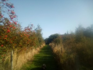
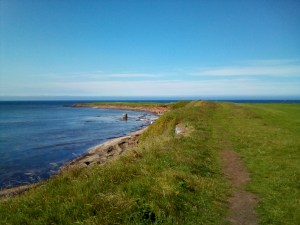
Looking back towards the car park
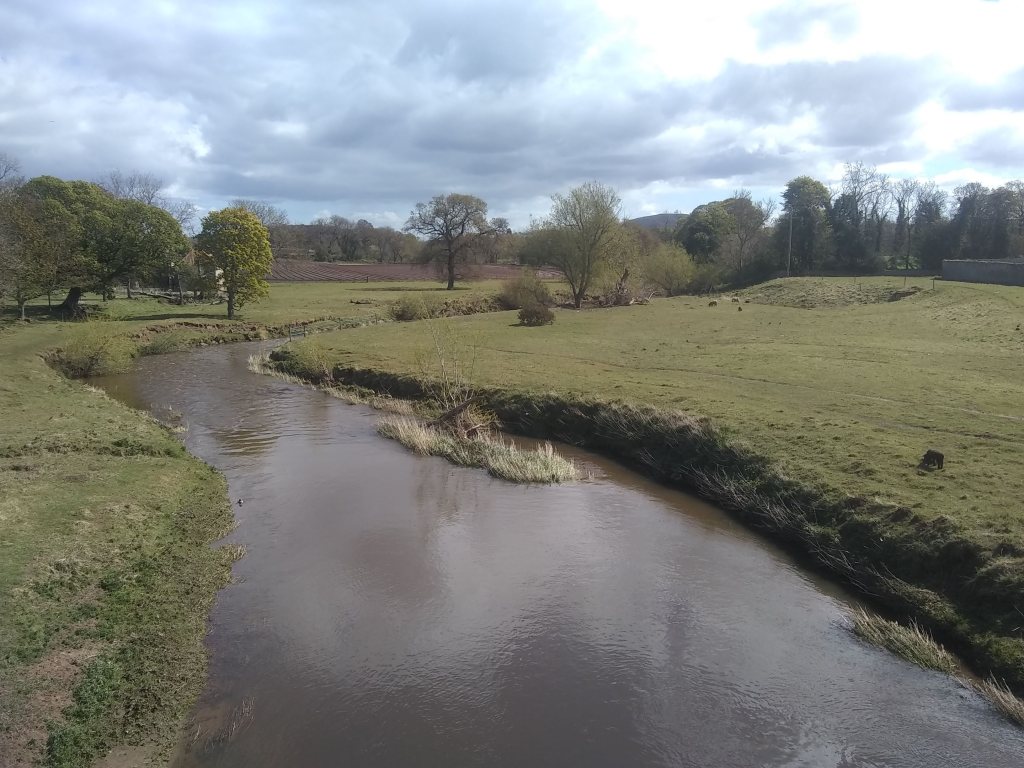
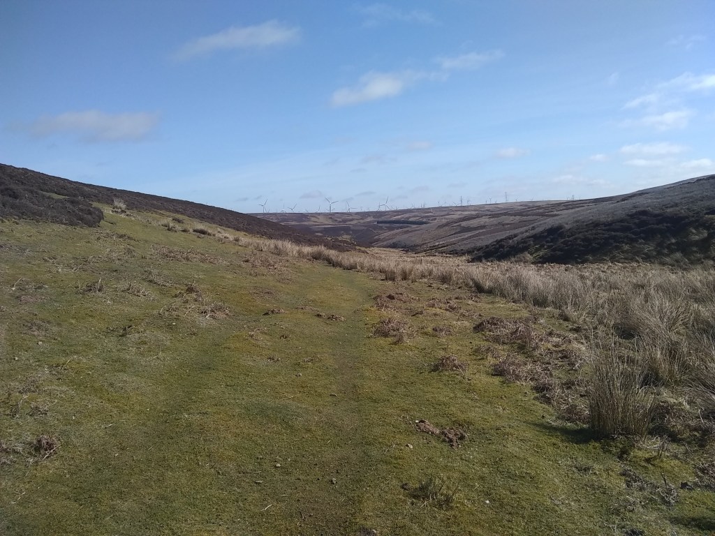
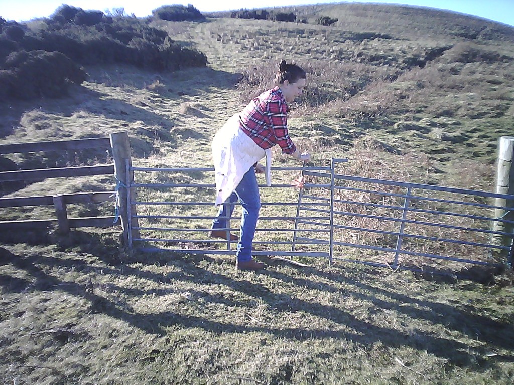
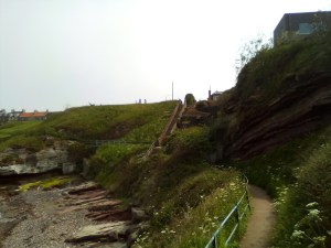
You’ll see the gate to a farm track which you’ll hop over & head towards the fields, the distant Lammermuirs crowning the scene, while to the right the plains of Lothian sweep all the way to the capital & the Pentland’s massif,
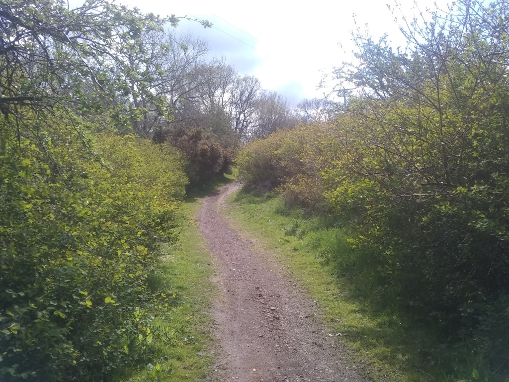
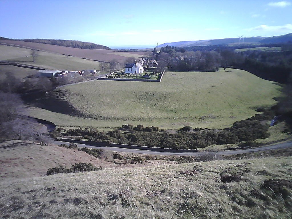
As you follow the track you’ll realise that Peaston is indeed one of the most pleasant plateaus in the county, whose delightful agricultural setting serves as a suitable tonic to the stresses & vigours of modernity.
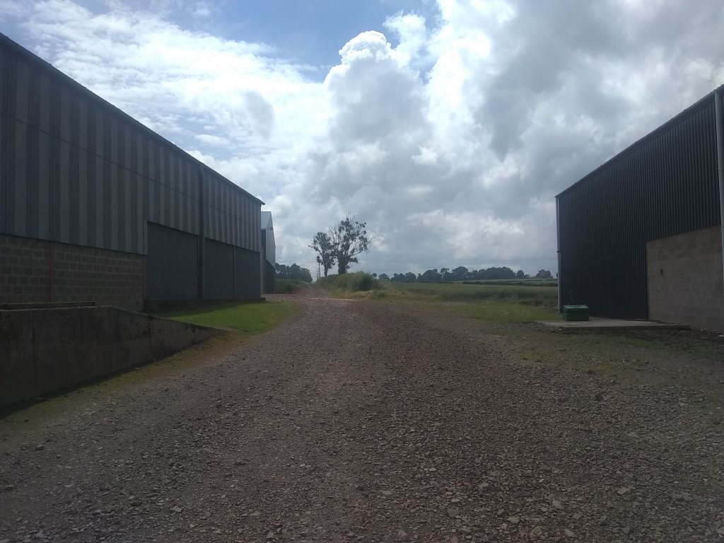
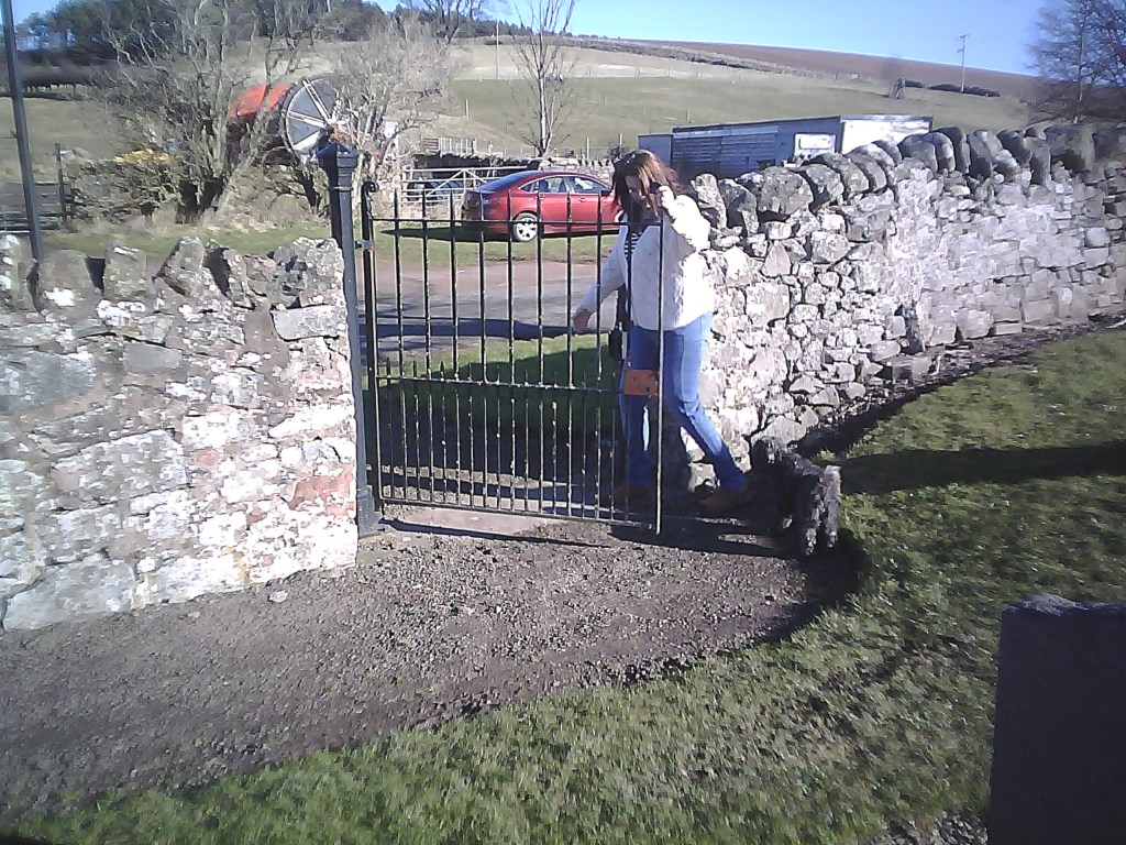
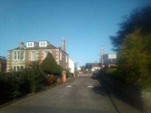
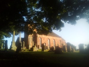
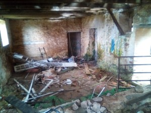
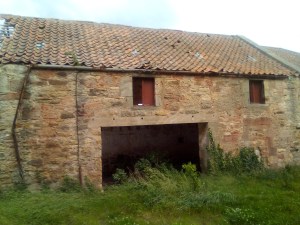
So, after a couple of right angle turns, passing some pretty bungalows & their gardens, you & your party will finally come to the main road & Peaston itself. Now this place is notorious is local folklore. This is a hamlet in upheaval – the cottages are being renovated & looking great as the two before-after photos show.
The place has a long history, with the land being acquired by Baron Nicholas Thompson in 1172, where he built a small farm and enslaved locals from the neighbouring villages as farmhands. So just as the farm began life in human tyranny, so thus it endeth.
Andrew Riddell was a tenant farmer of Peaston, as were father & father’s father, etc. Then the Salvesons turn up with loads of cash, buy loads of land in the locality, & despicably turf him & his family out of livelihood & home. It was a clear case of big wallet-little wallet, & despite Riddell winning land tenure at the first court case a second hearing at the Scottish Supreme Court, after huge swathes of donations & the masonic shakings of greas’d up palms, changed the verdict. Here’s some chat from the news of April 2013.
In the upheld appeal, senior judge Lord Gill ruled that measures put in place to protect tenants in such areas were not compatible with the European Convention on Human Rights. Angus McCall, chairman of the Scottish Tenant Farmers’ Association, of which Mr Riddell was a director, has described his “incredulity” that the SNP Government may not follow up on its plans to appeal the ruling at Britain’s highest court. Mr McCall added that he was shocked and dismayed to hear the Government may not proceed with its appeal. He said it had been indicated a Government legal challenge was certain and his association was even told it had been lodged last April, with the prospect it would be fast-tracked for a hearing next spring. The Herald has now established it is by no means certain this appeal to the UK Supreme Court will take place. A Scottish Government spokeswoman said: “The Scottish Government is currently considering its position following the conclusion of the Salvesen v Riddell court proceedings. Lord Gill’s ruling shocked the Government and the land reform lobby in equal measure as it gave precedence to the right to property under the European Convention on Human Rights over whether a public interest argument was proportionate and compatible. Land campaigner Andy Wightman said he too had been led to assume the ruling would be challenged, saying it would be disgraceful if ministers failed to put up a fight for the will of the Scottish Parliament.
It had been 10 years since he’d received the initial ‘notice to quit’ – a whole decade of stress which ended in double tragedy, with Riddell shooting himself & then the house lying empty to this day, unused & uncar’d for by the swollen Salveson family, just as long as they won the battle of alien pride versus native dignity.
No more would Riddell receive such accolades throughout his arable farming career in the Lothians, twice winning the local Haddington Show ‘farm of the year’ competition and winning spring wheat and barley competitions many times, including the year of his passing. No more would Peaston stand out as a model East Lothian Farm and it was due to Andrew’s ability and drive.
It’s possible to have a little potter about the farm, which has now taken on the phenomena of a haunted house as such. For me it’s testament to backslapping billionaires who care nothing for the traditions of the settlements they barge into.
So not the cheeriest note, I know, to end the first phase of Walking East Lothian – but the story must be told as it had a profound effect on the community & is knitted into the fabric of the Ormistinean psyche – huge numbers of people from far and near, including Riddell’s four children, attended the service of thanksgiving for his life in Yester Parish Church in Gifford.
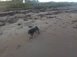
As for my declaration of ending the first phase of W.E.L., my blog will be lasting as long as my little dog Daisy skips across the topsoil of this planet with her slightly manic eyes, & I’m sure I’ll always be drawn to East Lothian’s poetical beacon of the soul.
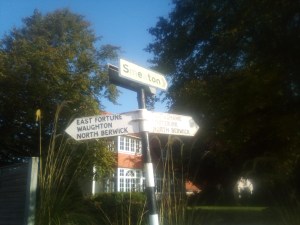
Its back to the county capital for this latest walk, & a lovely delve into the forgotten landscape of Amisfield Park, elegant home in the modern-day to the Haddington Golf Club.
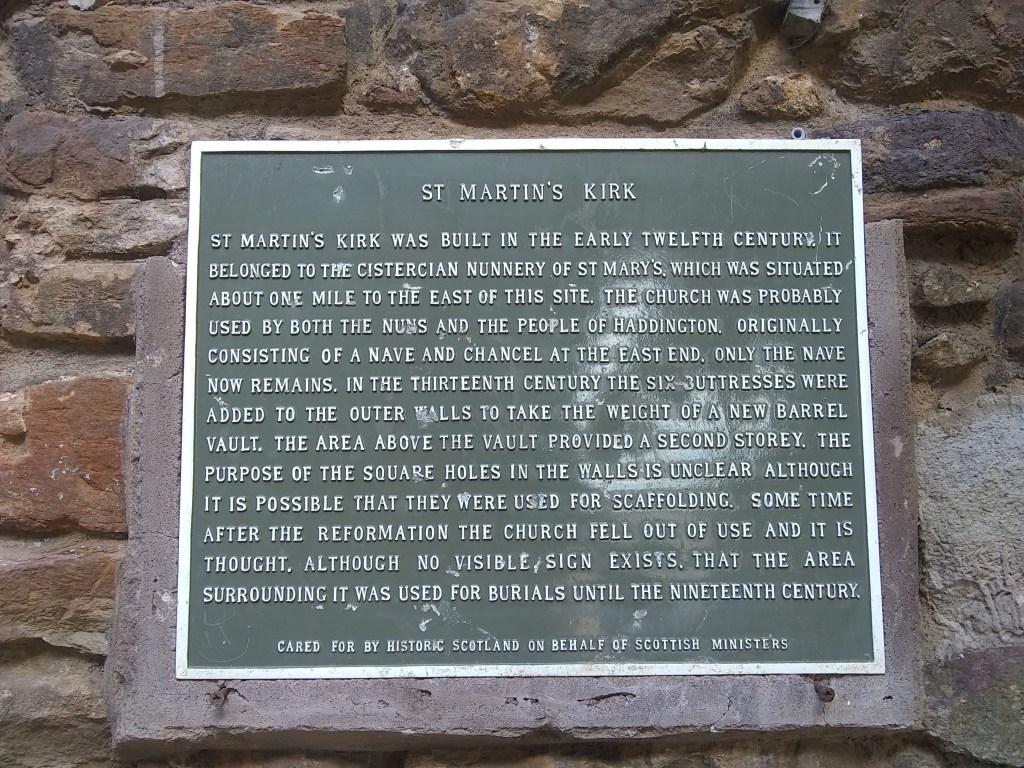
The best place to park the car is in the vicinity of St Martin’s Kirk, a robust Romanesque ruin on the edges of the Haddington’s oldest quarter. Tho John Knox might have attended services in St Martin’s as a boy, the church’s chancel was destroyed during the Protestant Reformation in 1560, of which Knox was the primary architect.
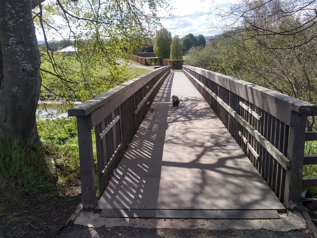
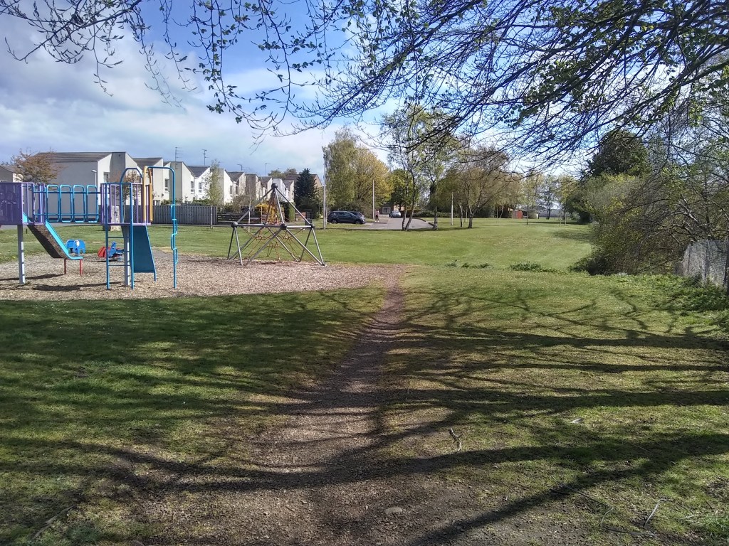
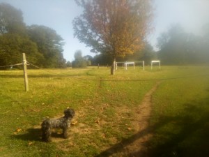
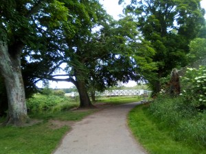
But let’s not try such a large digression at such an early part of the walk. Instead head towards the football courts & skatepark area, beyond which to the left is a footbridge over the River Tyne.
Once over the water turn right, where beyondthe playpark is a footpath that shoots straight as an arrow by the side of the Tyne. Take this.
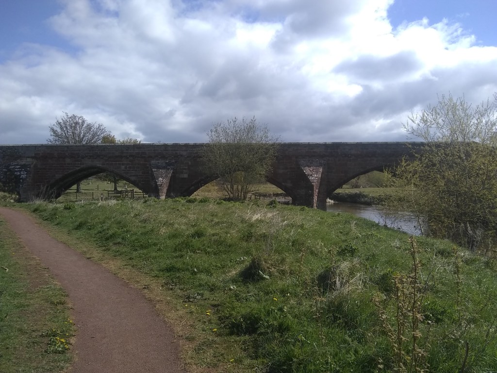
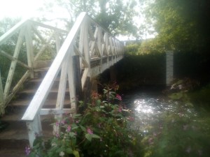
You are now coming to a fine bridge which you must surmount. To do this head left & up onto the road, heading right. At this point on the left is Abbeymill Farm, which is roughly the location of the original Cistercian abbey founded in 1139 by Countess Ada of Northumberland, who married Prince Henry, heir of David I, & received the lands as a wedding gift from the King of Scotland.
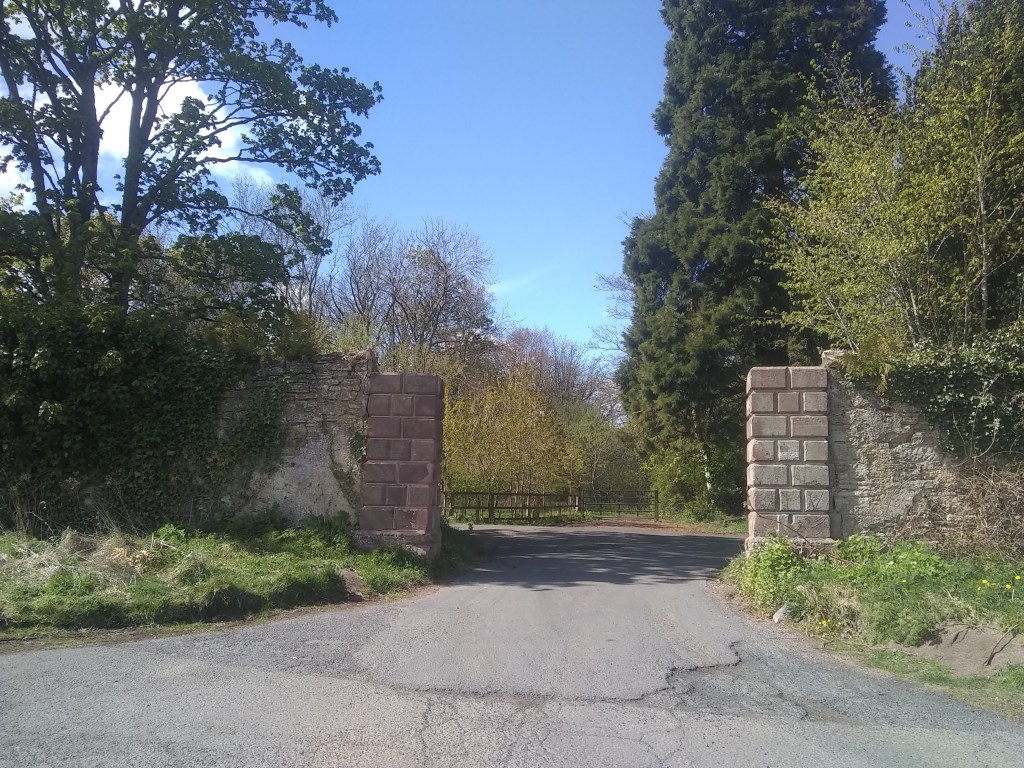
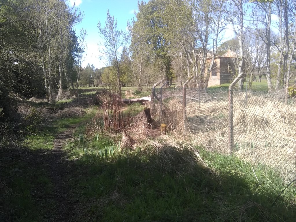
Following the tarmac in the direction of the Lammermuirs, you soon reach some estate walls to the right, & a little after an old lodge house & the entrance to Amisfield.
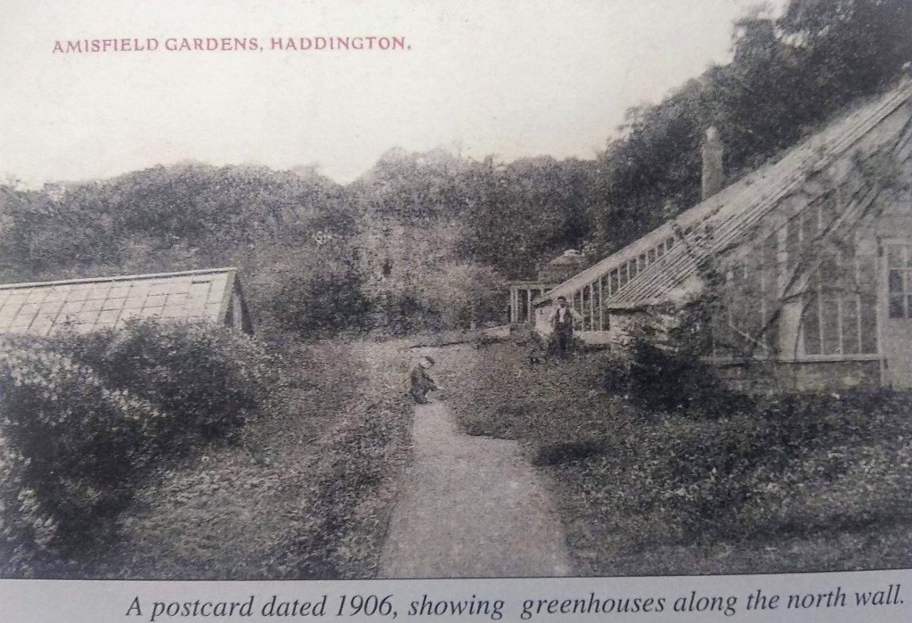
Through the entrance & a little to the left rise the epic fortifices of the Amisfield Wall’d Garden, where we shall be wandering for a wee while. You’ll always find this vast walled garden, with its four sprectacular circular corner pavilions, buzzing with those green-fingered, lottery-funded volunteers who have in the past few years transformed the garden from an overgrown wasteland to a vibrant horticultural paradise selling its own produce & educating teh community. If you want to volunteer yourself, contact: volunteers@amisfield.org.uk.
The garden is a true relic of Amisfield’s once glorious & noble past, a forgotten landscape pleasant parkland now home to Haddington golf club. Following four centuries of Cisterican singing, the abbey declined with the Reformation & the lands disposed of in 1560.
The first known house on the site was Newmills, built in 1681 together with a mill on the River Tyne. Its owner was Englishman, Colonel James Stanfield, a relic of the Cromwellian assault on Scotland & eventual MP for East Lothian in the Scots parliament. By 1686 Stanfield found himself in some financial difficulty due to the extravagance of his wayward son Philip and was preparing to sell off assets to pay the debts when he suddenly met an untimely death, that set the scene for a terrible trial for murder. Phillip was the clear candidate, having recently been disinherited for his debauchery, with Amisfield being willed to the second son, John Stansfield. Philip Stansfield drunkenly declared he would cut his father’s throat, and lo & behold thats just what happened to James, discovered in his bed with blood spurting out of the side of his neck. An Edinburgh jury found the prisoner guilty of all the facts laid in the indictment —- viz. of treason, cursing his father, and being accessory to his murder. with the Lords of Justiciary ordering him to be hanged on the 15th of February, 1688 at the Cross of Edinburgh, and his tongue to be cut out for cursing his father, and his right hand to be cut off for the parricide, and his head to be put upon the East Port of Haddington, as nearest to the place of murder, and his body to be hung up in chains betwixt Leith and Edinburgh, and his lands and goods to be confiscated for the treason.
Next into Newmills & with it the change of name to Amisfield, Francis Charteris. He’d named it Amisfield after the ancestral family estate, near Dumfries. He was a womanising, duelling, professional gambler who amassed a vast fortune by tricking the wealthy out of money & lending back at exorbitant interest. He is said to have bewitch’d £3000 from the Duchess of Queensberry using mirrors. He was also accused of raping a woman servant, convicted & sent to Newgate. Fog’s Weekly Journal of 14 March 1730 reported ‘We hear no Rapes have been committed for three Weeks past. Colonel Francis Charteris is still in Newgate.’ As a convicted felon, his property should have been forfeit under the doctrine of attainder, but he petitioned the King for its return. In composition (fine) for his offence, he paid substantial sums to the Sheriffs of London and Middlesex. He was also suspected of having given substantial gifts to various important individuals. Jonathan Swift commented on Charteris in several poems. In Lines on the Death of Dr. Swift (1731), he explains “Chartres” as, “a most infamous, vile scoundrel, grown from a foot-boy, or worse, to a prodigious fortune both in England and Scotland: he had a way of insinuating himself into all Ministers under every change, either as pimp, flatterer, or informer. He was tried at seventy for a rape, and came off by sacrificing a great part of his fortune.”
Charteris was the inspiration for characters in William Hogarth’s paintings, A Rake’s Progress and A Harlot’s Progress (where he is represented as the fat lecher in the first plate), and in Fanny Hill. He was condemned by Alexander Pope in his Moral Essay III, written in 1733. Parallels were drawn between Charteris’ sexual excesses and the greed of politicians such as Robert Walpole.
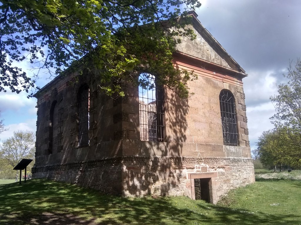
His son was a much better man – another Francis – who commission’d English palladian architect, Isaac Ware, to Amisfield House in 1755 for and extensively remodelled the landscape. Built in red coloured Garvald freestone, the mansion house had a seven-bayed frontage & ionic portico, & it is a true loss to the people of Haddington & beyond. This Francis, the 7th Earl of Wemyss through marriage, built eight acre the walled garden, which started off life off cultivating tropical fruits including pineapples. This ‘called pinery-vinery’ meant the consumption of vast resources such as a constant source of heat.
The Earl then moved to Gosford near Longniddry, but kept Amisfield going. During the 19th century the parkland played host to the Tyneside Games held annually for 20 years from 1833. Up to 6000 spectators would gather to watch ‘sports’ between all classes of locals – including gentry – such as quoiting, putting the balls, sack races, & the great final race – a run along the river Tyne for a mile & back the other side. The race finish’d by runn thro the river then up a slope of a 100 yards to winning post. A contemprary account describes the final frantic dash.
IN they rushed, the water being so deep as to cover them to the shoulders, & pressing through the stream, happy was he who put his foot upon the side, & came in winner amidst the shouts of the assembled multitude.
The palladian mansion house was demolished a century ago – the site is now occupied by Haddington Golf Club’s clubhouse – tho’ the avenue of ancient lime trees & rococo summerhouse still remain. Amisfield also saw service during the wars as both a miltary camp a POW camp. The grounds of Amisfield House were first used as a military training camp for the Lothian and Borders Horse Regiment in the First World War. The house was used as accommodation for the officers, and wooden huts were constructed in the park for the soldiers. Football fields and parades grounds were provide on the low ground by the river. A large practice trench system was also built by the river.
During the Second World War units including the Sherwood Foresters and the Polish 10th Mounted Rifles were accommodated at the camp. Part or all of the camp may have been adapted to the Prisoner of War camp in 1944, from where Karl Lasar, aged forty-four, escaped from a working party in Haddington in 1945. PC Erskine related the details in his report:
“On Sunday, 18th April 1948, about 4.20pm, the skeleton of a human being was found on the west banking of the disused quarry situated about 200 yards east from the Birk Hedges Road, in the parish of Haddington, and the remains are suspected to be those of No A989611 Karl Lasar, (44), PoW, who was an inmate of No 16A Prisoner of War Camp, Amisfield Park, Haddington, who went missing from a working party employed at Dovecot Farm, Haddington, on 7th September, 1945. The cause of death is not certified.”
It’s more than likely that Karl took his own life as Willie Downey, one of the three young boys who made the unpleasant discovery, described in 1998. He described how the boys were looking for frog spawn in the Spring of 1948 when one of them kicked what he thought was a sheep’s head in the water. A closer look led to the realisation that it was a human skull with the remains of boots and a uniform with patches nearby. Willie noticed a length of hemp rope hanging from a nearby tree which overhung the quarry and remembered that identity discs were discovered along with a watch.
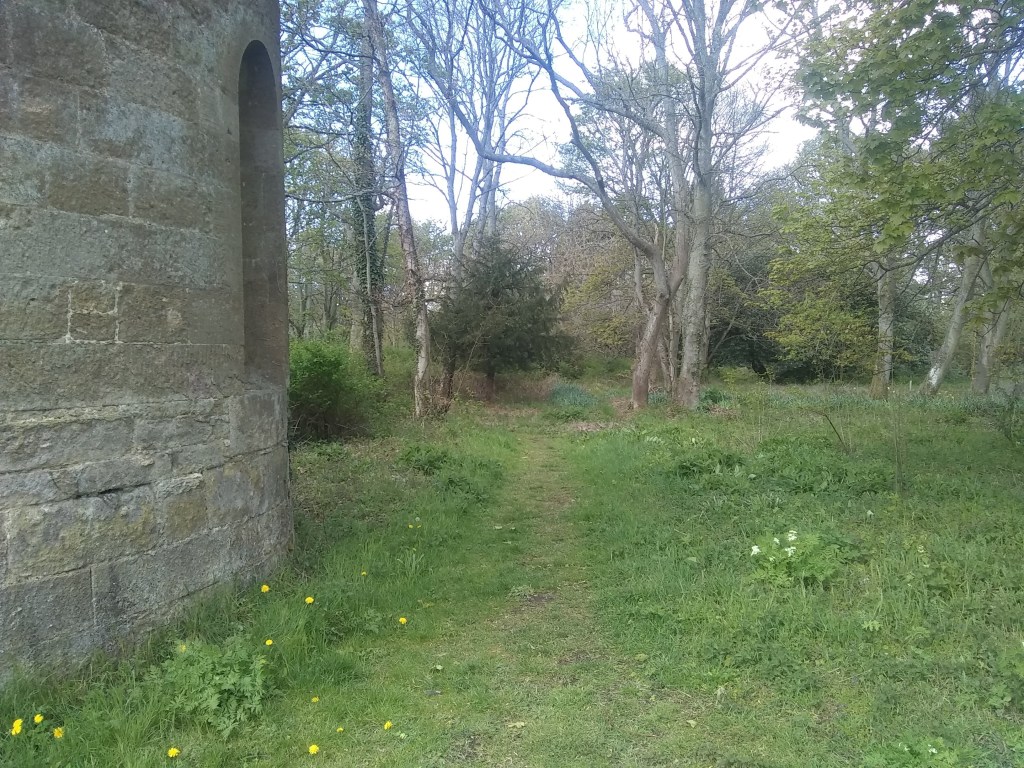
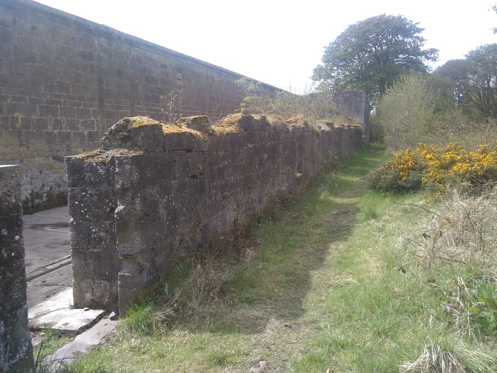
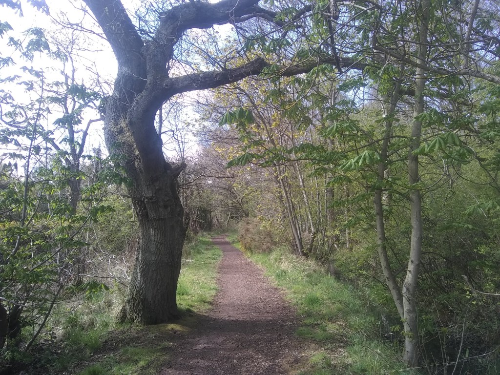
So there we have it – lots & lots of history for Amisfield Park. As for the rest of the walk, return to the entrance to the Walled Garden & turn left, then left again keeping the wall to your left. You’ve now entered a bit of woodland. If you want to see the summerhouse, at a fork in the path turn right, follow the trail to the tarmac path, then cross it & drop down througmore woods to the summerhouse. After checking it out then follow the gold fourse edge a few metres then turn left up onto the tarmac & return the way you came.
Back at the woodland fork, keep the wall to your left & follow it all the way round to the fourth corner. Here you’ll see a path heading left – take this.
After a while you’ll come to an opening in the estate wall, & a little further a pedestrian gate. The gate leads onto a fairly quiet road which you can follow back to the car, or alternatively skirt the golf course to its main road, turn left, & reach the area where across the green lies St Martin’s kirk.
The Easter Holidays are here, so its time for a really fun, adventurous walk to entertain the kids & the kids inside us all. Put your boots or wellies on, by the way, cos there will be a boggy bit.
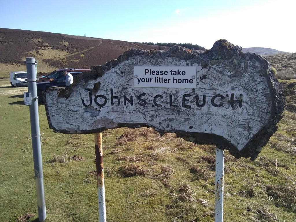
It begins at Johnscleugh – an lovely open, level green space on the winding & often windy road between Garvald & Whiteadder. Its a great place to park & even camp up overnight if you so wish.
Our walk begins by heading thro’ some gates, hopping over a little bridge & turning right along the tarmac track..
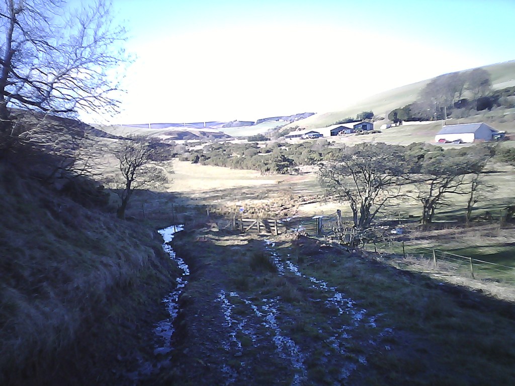
After a wee while of valley bottom floating you’ll come to a gate. You can continue through it in the direction of Spartleton, a lovely walk we’ve done almost three years ago; but for us its a right turn, a hop over the stream & an ascent to the road. Marvellous fun.
The ascent up to the road
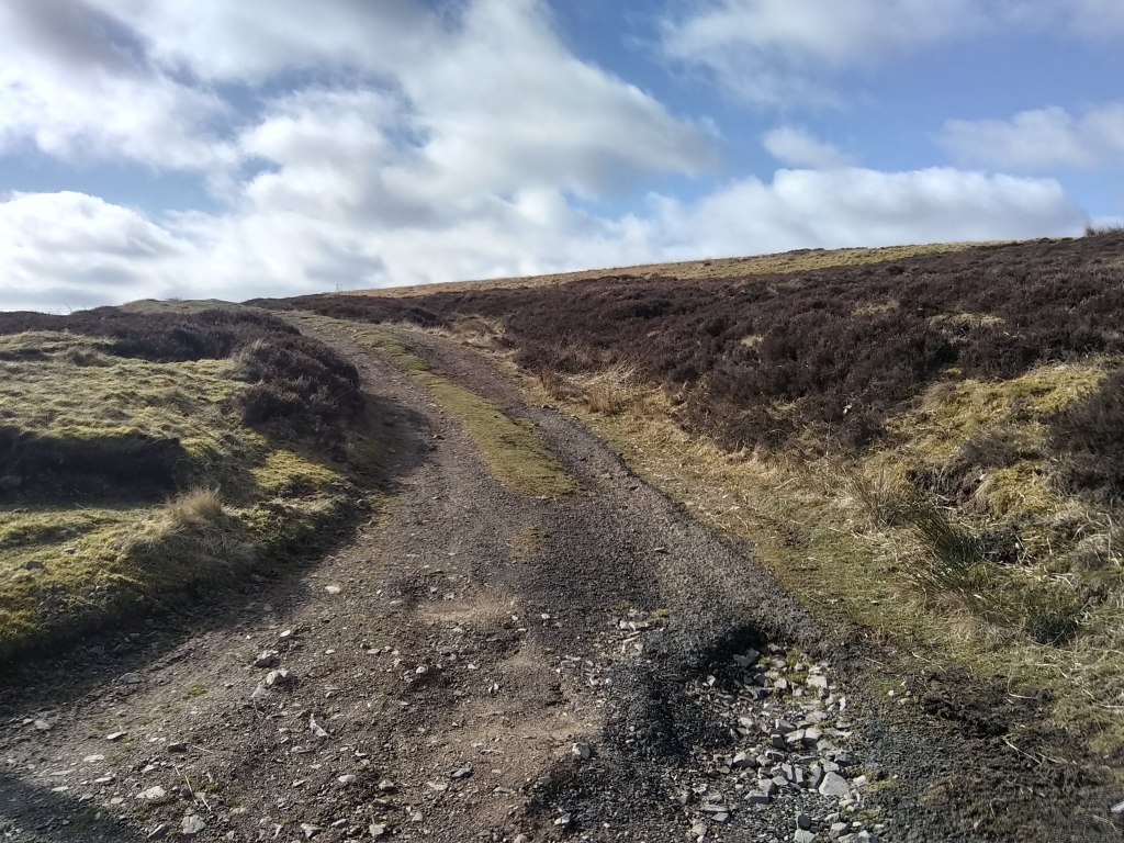
At the road turn left, head uphill a little way, then take the track in the photograph below.
You are now in shooting country – that despicable humiliation & mass murder of innocent animals branded as ‘sport’ by the same degenerate minds that thought it was OK to build empires on the ancient lands of disparate peoples across the world. The status of shooting in Scotland at the moment reminds me of when I first came to Scotland in the Naughties & was shocked to discover that female bagpipers had been banned by the patriarchy who ran bagpiping. Its the same for shooting – there’s only so many bribes, bungs & old boys’ slap on the backs before the whole house of genocidal cards comes crashing down & the vast swathes of shooting moorland in Scotland – about 15 percent of the total landmass – be used for agriculture, farming, public parks or housing – rather than for the grotesque fun of a tiny minority.
Whenever you see heather being burnt in the hills – its called muirburn – the idea is that the grouse that are shipped in Auschwitz style every summer from their nursery pens will be feeding on the green shoots from the regrowing heather. There’s also the untold suffering of thousands of animals that are trapped, snared and killed to protect grouse shooting for the pleasure of rather sick groups of individuals. The scale of the suffering for Scotland’s wildlife is simply shocking. For those interested in participating in or watching the decline of Scotland’s worst criminals, here’s a link to REVIVE, a group committed to transforming the face of Scotland for the better.
That’s my rant over, but if you do do this walk later in this year – hopefully there wont be many more years of this monstrosity of the human condition -, at least be aware of birds in the heather & if your dogs a chaser be prepared for a guy in tweed & a landrover turning up as if by magic to tell you off – its a case of ‘excuse me your dog is disturbing the birds that we want to kill with mindless abandon.’
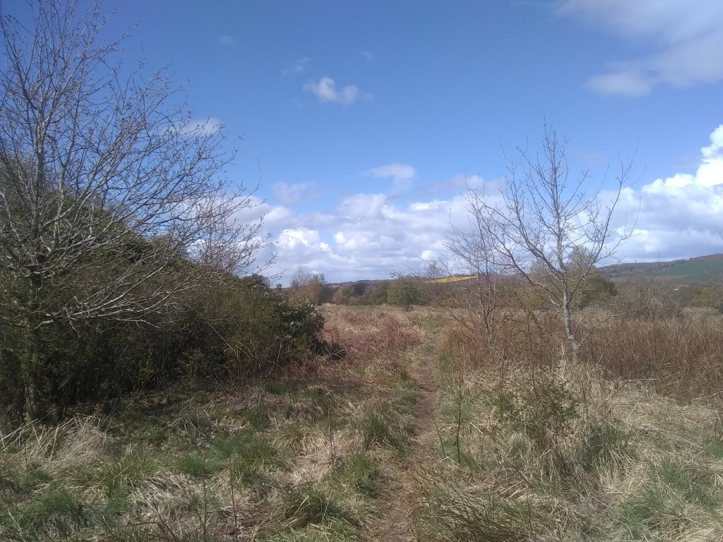
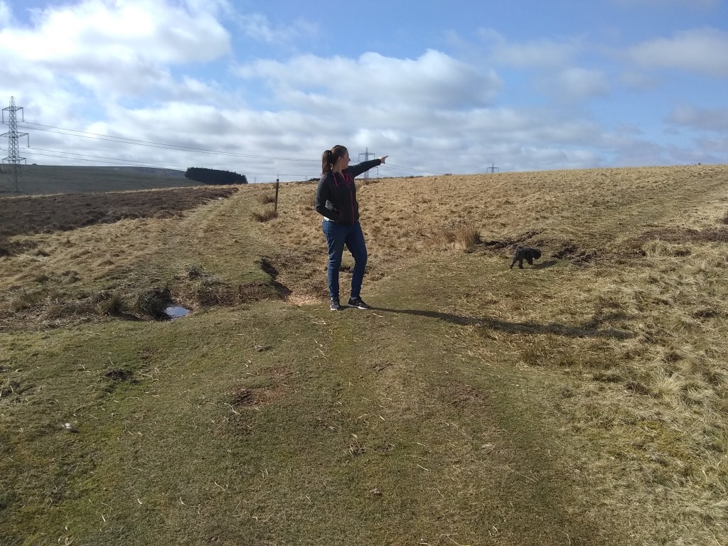
So, back to the walk, & we’re now going to try & track down two extremely ancient sites. Follow the track for a wee while til you come to a fork. Take the right prong, pass beyond the avenue of ‘Grouse Butts’ which peel off for the right, & head for a good distance til another small avenue again peels off to the right.
track to the ‘Nine Stones’
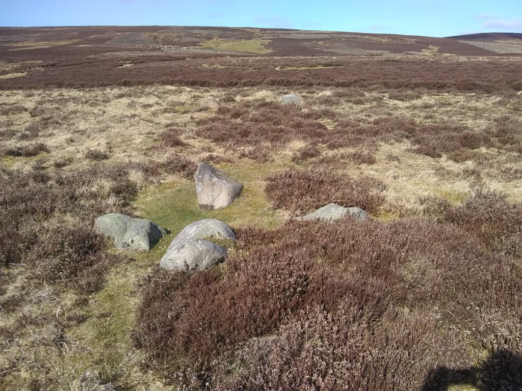
Just a few meters along this new track you’ll come to the Nine Stones themselves which give a name to the ‘rig’ or open hill which slopes gently above us. The Nine Stones are a rough circle of nine low boulders a little over 6 metres across and the stones are generally under a metre tall and under two metres in length. For me this, & other stone circles, are agricultural calendars, when sunrises & moonrise, etc, dictate when to plant or harvest kindathing.
An intriguing entry taken from a Name Book of 1853 says: “A circle of nine stones. It is believed that some treasure is hidden beneath these stones and various attempts, all unsuccessful, have been made to find it.” This treasure hunting leads us to 1980, when Canmore tells us: “These stones once stood on the perimeter of a ring about 6.4m in diameter … The uneven interior suggests digging has taken place here.”
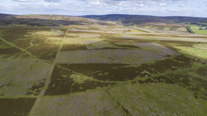
Nine Stone Rig from the air – the circle is centre left, slightly down The two gullies in the flanks of the hill – the left hand one is in the centre of the photo, the right hand one over Grouse Butt number 9
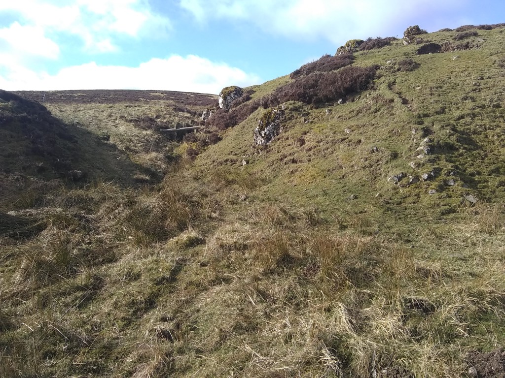
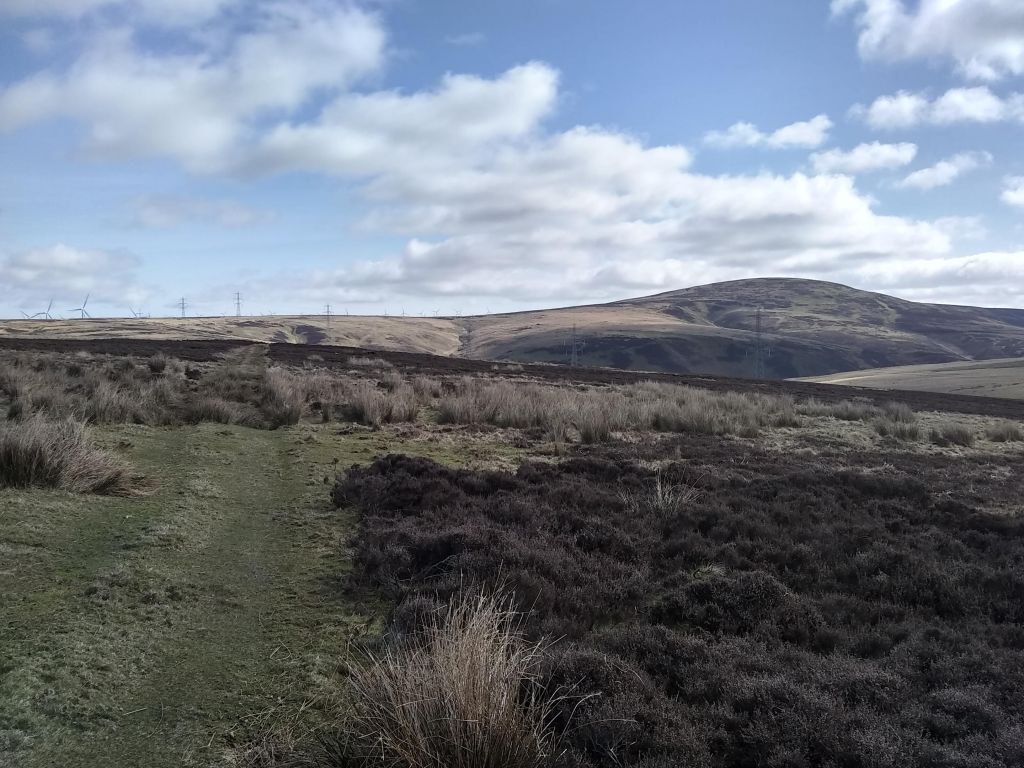
It is now time to find our second ancient set of stones, which are a veritable stone’s throw away (if he have a Byzantine trebuchet that is). To get there involves muddying those boots if its been wet recently. If you face west you will see two small ravines in the far distant hill. At the bottom of the left one lie the Craw Stones.
Back on the track
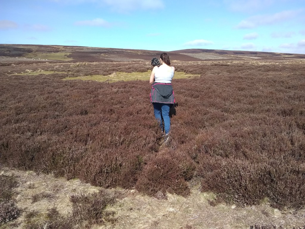
To get to the stones, go back to the track & follow it for a while as it veers to the right. Then when you get to the rough point in photo below, its time to head across the heather.
Time to cross the heather
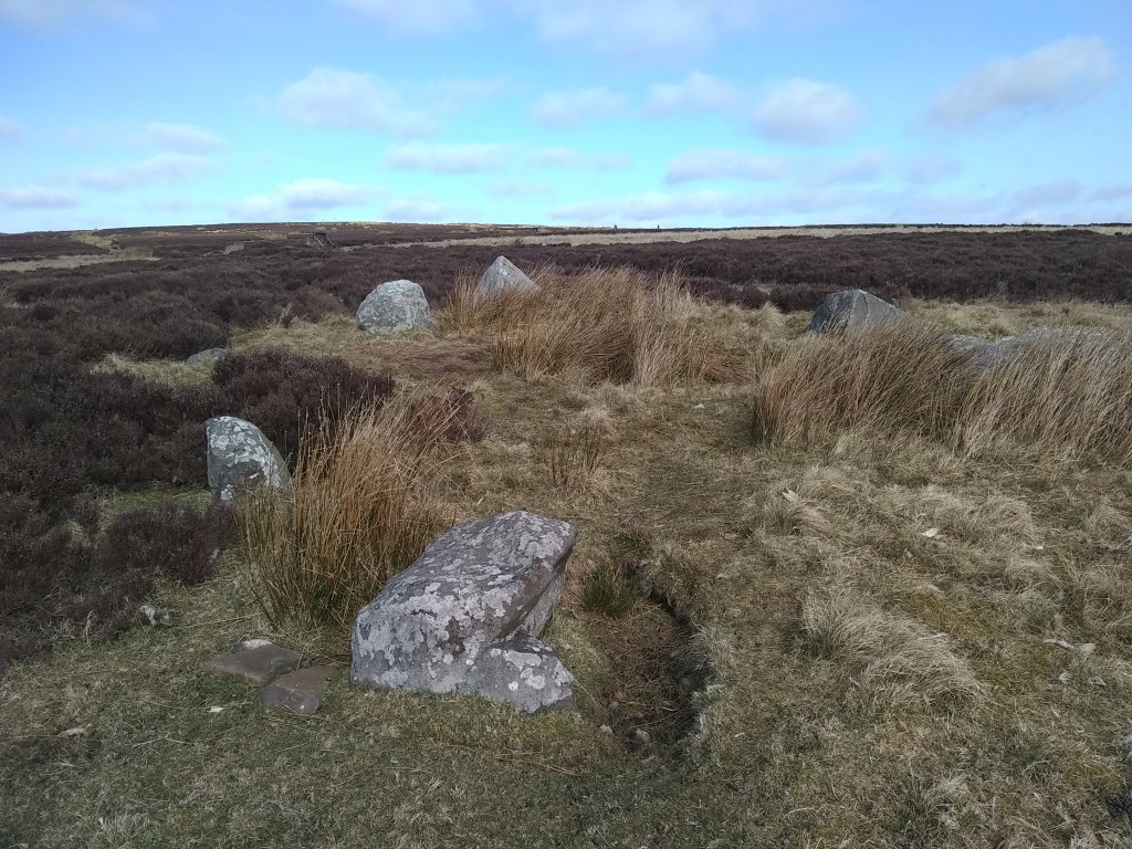
After crossing Crow Moss, East Lothian’s version of Tolkien’s Dead Marshes – keep to the heather remember, they are dry – you will come to the Crow Stones. They are a little irregular for a circle, & were probably an oval, but a series of four low stones, 5ft apart diagonally, may be related to the Four-Posters of central Scotland.
It is now time to head back to Johnscleugh – if you do an about face you’ll see in the directions of the wind turbines a narrow valley in the distance, to the left of Nine Stone Rig hill. The idea is to head towards this while slowly veering left towards the ‘South Grain’. There’ll be seas of heather, bits of bogs & simply stunning open spaces, so enjoy the yomp. Then after crossing the South Grain head up the track to the white pole.
The South Grain is hidden in the grasses
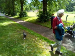
It’s now time for the lollop back to the car. Up & over the hill you’ll come to another stream, over which you’ll turn immediately right & take the gentle streamside amble back to Johnscleugh – it really is a charming end to the whole, walk by the end of which you’ll be well buzzing about your trip to one the most ancient sites of East Lothian.
The stream is at the foot of the hill – turn right once over it Me & Daisy heading back Approaching the car…
Well that was a bit wintry, wasn’t it. I’ve been saving up this latest walk for a weeks now, but there was never a day when I was free & the weather was good enough for photos – until last Saturday! A beautiful pre-spring day, the thermo hit double figure, with 12 degrees feeling like twenty as my body began its thaw from hibernation. Talking of photos, I’ve just got a new camera & its from China & I haven’t quite figured out the instructions, which will explain the certain brightness in some of the shots on an especially bright day.
To get to Oldhamstocks, hit the A1 & head towards England passing Dunbar. When you see the Innerwick turning, take this road, & take an immediate left to Oldhamstocks, which is signposted. This road is now a pleasant drive thro rolling hills until you reach Oldhamstocks village at a T-junction – turn left & creep slowly towards the green, where you can park up anywhere really.
I love Oldhamstocks, me, its got a funky, medieval vibe to it; scattered Portmeirionesque houses surrounding an open green, pierced only by its mercat cross, this is a time capsule of cul-de-sace loveliness hidden deep in the eastern Lammermuirs.
The Old Schoolhouse
The first port of call is a potter round kirk & kirkyard. The kirk is an impressive whitewashed affair with one very old section, which is the main chapel still. Inside there’s a series of history boards which perhaps need a redoing, a little jaded & faded & parts, but the information on the village is there which will please all history buffs. As a religious centre, the kirk goes way back to at least 1127, when we hear of Adulf, priest of Aldehamstoc.
Out into the kirkyard, you get your first taste of the delicious scenery, including the ridge to the north which we shall be topping in a little while. To get there head out through a gate in the kirkyard wall & turn left.
You are now on a very unbusy road, which drops down into the valley. On reaching a little river, pass through the gate & you’ll soon come to transport hub of sorts – a triangular intersection of three roads. Here head straight forward.
Head Right
Daisy having a drink
After a wee while a gorgeous glen opens up, the heart of a hilly basin with farmhouses in the distance. To the left is a fenced off field & slopes leading up to the aforementioned ridge. Turn left & head towards a narrow greenway which climbs the slopes, keeping the fenced off field to your right.
Climbing the greenway, in late February we noticed how a smattering of yellow gorse trumpets were showing face – which along with the crocuses & snowdrops mark the coming of Spring.
Surmounting the ridge, avail yourselves of the opportunity to look back towards Oldhamstocks – a stunning view of the kirk with the North Sea shimmering in the distance.
The gate is by the gorse, left of picture
Facing right you will see a gate in the middle distance – head to this, pass through it, then turn right into a field. You will see here that the path forks – take the left one.
Veer left
A short climb later you will reach the corner of a fenced off field where a tree-stump looks incredibly like a Pictish Stone. At this point you will see a boggy streambed heading down the hill – follow this.
The stream soon dries up at a point where a local farmer must have dug a long drainage ditch – follow this downhill.
You will now come to a a gate at the valley bottom – pass through it & veer right through the field. You will soon come to a cool, man-made stony ford. Cross this & reach the road once again. Its now time for the pleasant amble back to Oldhamstocks along the road.
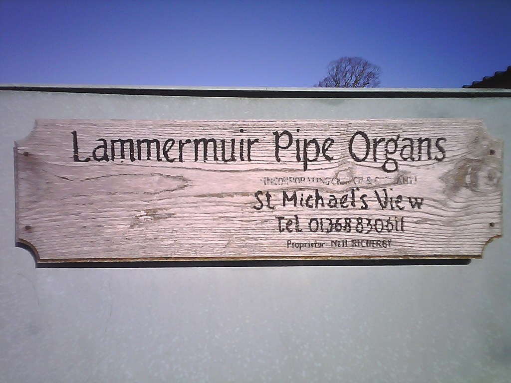
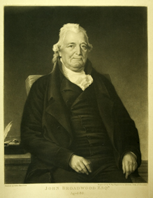
As we reached the outskirts of the village once more, we passed a sign saying ‘Lammermuir Pipe Organs.’ Such musical instrument makingness reminded me of Oldhamstocks’ most famous son, John Broadwood (1732-1812). From his humble beginnings in the parish school, he would go onto become the piano maker for King George II, with his company, Broadwood and Sons, maintaining the royal appointment right thro’ to King George VI – and still hold the Royal Warrant for piano manufacture.
He inherited his father James Broadwood’s profession, that of a wright or carpenter/joiner, and as a young man walked from Oldhamstocks to London, a distance of almost 400 miles, where he worked for the harpsichord maker Burkat Shudi, & even married his daughter, Barbara. Burkat died in 1773, and John Broadwood took control of the company from his brother-in-law in 1783. Introducing innovations in piano manufacture, & with sales booming, he ceased to manufacture harpsichords in 1793. Innovations in piano manufacture include: adding a separate bridge for the bass notes, patenting the piano pedal in 1783 and expanding the then-standard five octave range upwards by half an octave, in response to a request of Dussek, and then by half an octave downwards.
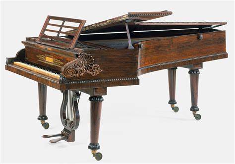
The Broadwoods have supplied pianos to some of the world’s most recognised musicians such as Chopin & Beethoven. The latter received a six octave Broadwood in 1818, a gift from John’s son, Thomas, which he kept for the rest of his life. Although his impaired hearing may well have prevented him appreciating its tone, he seems to have preferred it to his Erard which had a similar range. Above the company label on the front edge of the pin block the following text can be read: “Hoc Instrumentum est Thomae Broadwood (Londrini) donum propter ingenium illustrissime Beethoven.” [This instrument is a gift from Thomas Broadwood of London in recognition of the most illustrious genius of Beethoven.] As for Chopin, he would play Broadwood instruments whenever in Britain, including at the last concert of his life given at Guildhall, London, in 1848.
So that was our Oldhamstocks walk, one of the finest in the county, with spacious scenery, wonderful vistas, a mixture of terrains & just complete peaceful silence of it all. Hard to find, yes, but well worth the mission. By the way, I’ve decided to return the phone, its camera’s not good enough to capture the county !!
Has it been three years already ! So it appears. Daisy is as sprightly as a puppy still & I’ve got at least another 6 walks planned for 2021, so lets do some more Walking East Lothian.
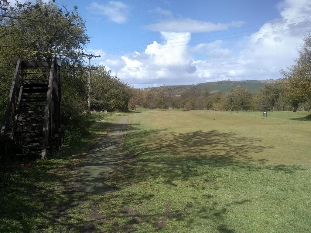
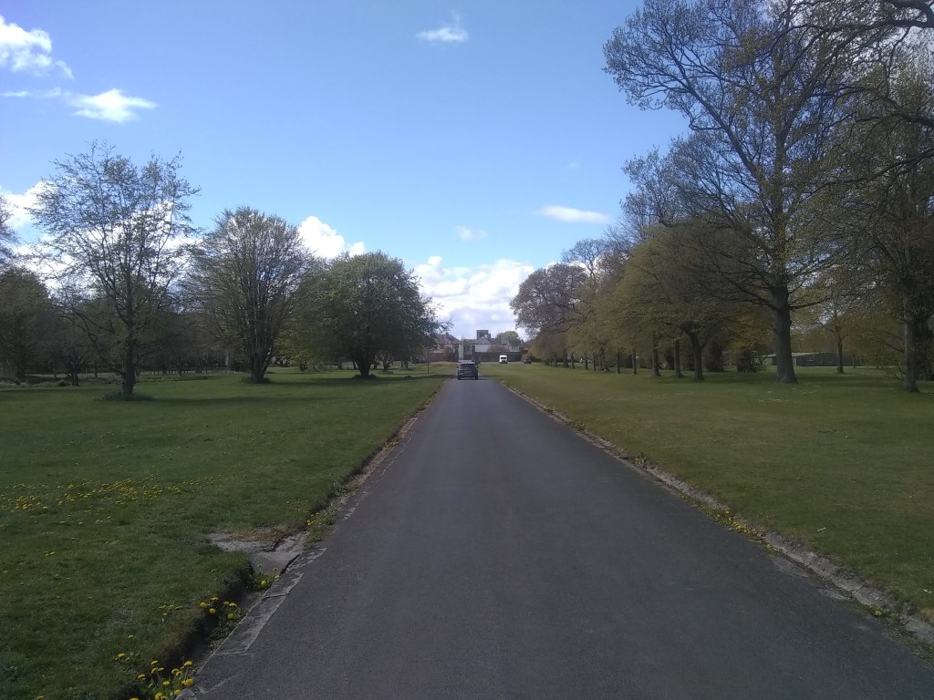
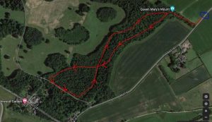
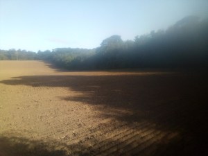
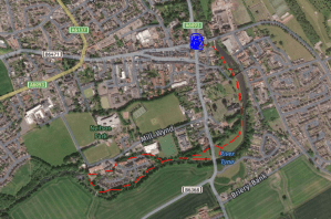
The first walk of this year was way out west in the most sluchiest conditions, but I’m sure the ground will dry out as the year progressess. It begins by parking the car a few miles west of Elphinstone in the area marked on the map.
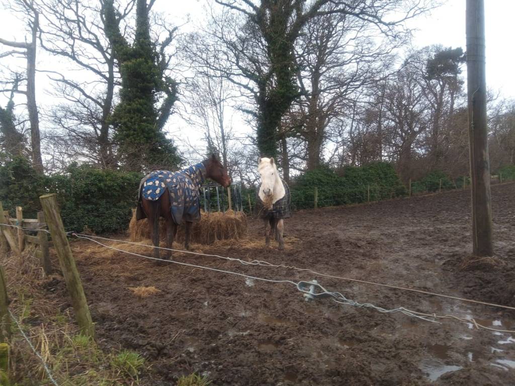
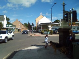
The traffic is queit enough, & you must head west about 100 metres towards the trees. There’s a horsefeeding area just before the trees, which has a chest-hair-stripping aroma, believe me.
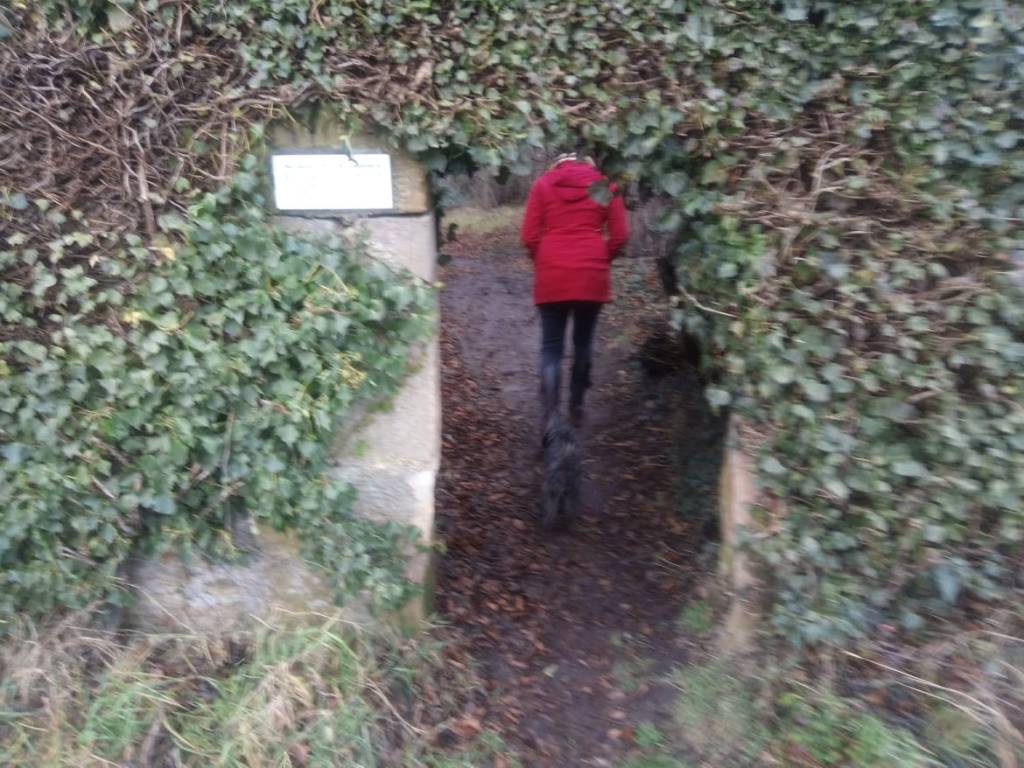
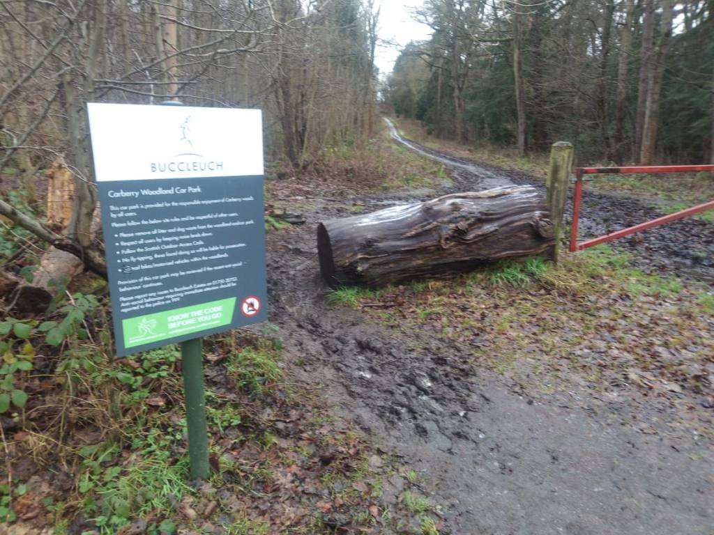
Just after the woods start there is an archway in the wall, made in 2004 by the Mary Stuart Society. Now that feisty monarch caused a lot of bother in 16th century Scotland; but eventually the dust settl’d & her son, James VI, would go on to unite the crowns & lead to the day in 1890 when Burnley could field ten Scottish players in their side – without work visas!
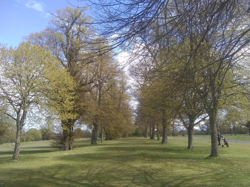
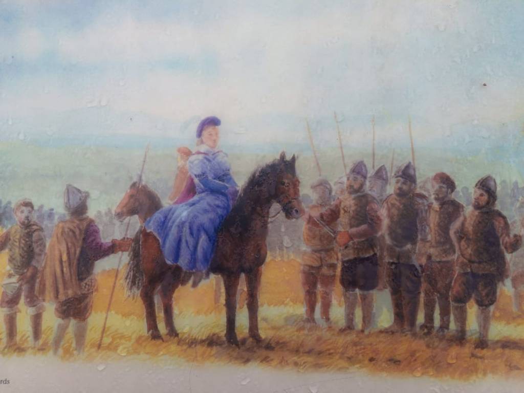
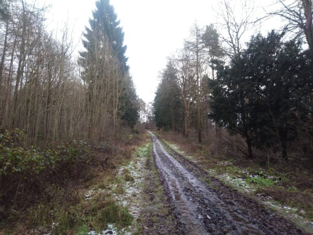
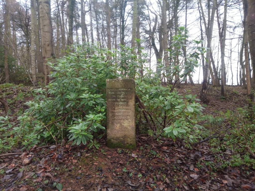
Carberry Woods are named after Carberry Tower, where we’ll get to one day, but for now we’ll just be having a wander through the impressive woodlands. These are basically a hill, & I always find its better to start a walk going down a hill, rather than up, it just feels better for me. So starting at the top of the hill, you soon come to an old monolith which marks a very famous spot in the history of the Scottish monarchy.
The inscription on the monument reads: “M.R. 1567 At this spot Mary Queen of Scots after the escape of Bothwell mounted her horse and surrendered herself to the Confederate Lords 15 June 1567”. So it was on this very spot that Mary breathed her last ever free air, surrendering herself to the captivity that would see her head removed by Queen Elizabeth of England. The events that led up to the surrender began in February 1567 when her old husband, Darney, was bumped off. Suspicion fell on Lord Bothwell, who was charged with Darnley’s 10 February 1567 murder in April, and was to be prosecuted by Lord Lennox, the dead Darnley’s father.
Lord Lennox never showed up despite being summoned, and Bothwell was acquitted. On 19 April, several Lords of Parliament and other notable men signed the Ainslie Tavern Bond. The Bond declared that the twice-widowed Mary should marry a Scottish subject; this document was then handed to Bothwell. Six days later, Bothwell and an escort of eight hundred armed men intercepted Mary on her way to Linlithgow Palace in Edinburgh. Mary, convinced by Bothwell that danger awaited her in Edinburgh, went with Bothwell to Dunbar. That night, he either sexually assaulted her or Mary consented willingly to Bothwell’s advances. Only Mary and Bothwell know what truly happened. Either way, Mary and Bothwell were quickly married, and Bothwell was expediently elevated to the position of Duke of Orkney.
Most of the Lords of Scotland would not accept this state of affairs & basically a civil war shimmering with religious and political intrigue broke out, leading to a stand off at Carberry in June, 1567. At the top of the hill was the 24-year-old Mary, Bothwell & their soldiers, & at the bottom were the confederate forces of powerful men such as Maitland, Morton, Balfour and Murray of Tullibardine & all led by led by Kirkaldy of Grange. Before them they held up a banner depicting the murdered Darnley with the legend: “Judge and avenge my cause, O Lord”.
The 15 day being sonneday, the armies came within view. The one stood upone Carberry Hills, with 4 regiments of shouldiours, and six field-pieces of brasse: the uther armey stoode over against it, messingers going betwixt them all day till neir night; dureing which parley the Duke fled secretly to Dunbar, and the Queine came and randred herself prisoner to ye Lordis, quho convoyed her to Edinburghe to the Provost’s Lodgeing for yat night; Sr. Symeon Prestone of Craigmillar being Provost for ye time. From the diary of Birrel
Mary and Bothwell, who had spent their last night together at Fa’Side Castle (my first ever Walking East Lothian post) , took up position with their supporters on the higher ground of Carberry Hill. On a very hot & sunny day the two sides faced each other according to time-honoured chivalry, sending messengers across to each side with challenges to combat. There was much hesitation. Monsieur du Croc, the French ambassador, rode out from Edinburgh to mediate. He was deputed by the rebels to implore Mary to abandon Bothwell, and if she did so they would back down and submit to her. She resolutely refused. Challenges to personal combat were issued though none took place. Bothwell challenged Morton who delegated to Lindsay who girded his waist with his great sword called Archibald-the-Cat, handed down from his ancestors. But it all came to nothing. Mary’s supporters began to drift away and by evening she realised that her cause was lost. She decided she would trust the rebels with the safe conduct of Bothwell if she gave herself up to them. She and Bothwell parted and he scarpered to Dunbar & then Denmark.
When she rode into the rebel camp, she was shocked to find that they jeered at her, such had her popularity declined. She was led to Edinburgh and installed in the house of the provost, Simon Preston of Craigmillar, under guard. Mary’s dress for the day was recorded by William Drury, Marshall of Berwick, who said of her clothing,
The Queen’s apparel in the field was after the fashion of the women of Edinburgh, in a red petticoat, sleeves tied with points a “partlyte,” a velvet hat and muffler. She used great persuasions and encouragements to her people to have tried it by battle. For welcome the Lords showed her the banner with the dead body, which seeing they say that she wished she had never seen him. The banner was hanged out before her window at the Provost’s house, wherewith she seemed much offended.
Thus began her captivity, first in Scotland, then in England, which was only to end with her execution 20 years later.
Stay left to start
At Carberry Woodland you can pretty much choose your own adventure, but I’ll still describe what me, the missus & Daisy did. We basically kept left, keeping open fields beyond, until we kinda turned right & crossed another path. Here we kepy going down something of a slippery slalom, following wee blue arrows nailed into the tree, & found ourselves keeping right, with open fields beyond.
The slalom section
Cross over the path & keep going downhill
The path then reaches a carpark area, which is out of use. Here, turn sharp left & make your way up the long stretch of track.
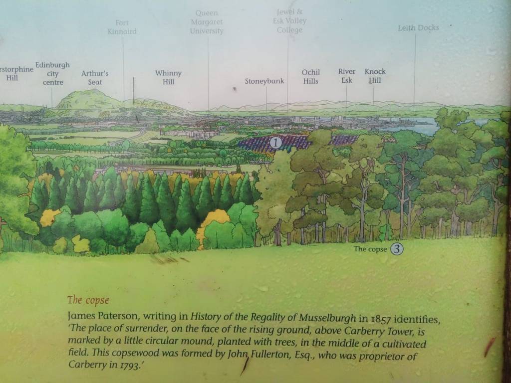
This track then bends to the left, crosses the slalom area from before, then arrives a viewpoint. You will find here some interesting boards which point out historical features in the landscape before us.
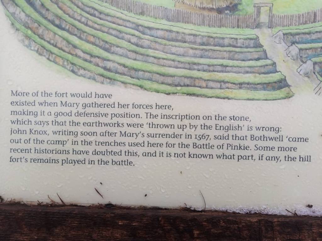
Carrying on up the hill you’ll come to some more boards which tell the story of the irona hill age fort you’ll be standing amidst. Carberry suggest the Caer of Berry, or Berig, or even a Brych who appears in Y Gododdin.
I glanced on gather’d hosts from Hyddwyn high, Conflagaration’s ghostly sacrifice, I saw two leaders from their stations fall, Gore spills thro’ Nwython’s orders under sword, Men marching on harmonious… a shout, When the heads of Brych & Dyvynwal raven-gnaw’d!
From this area you’ll soon be back at the Mary monolith for the short scamper back to the main road & the car. So yeah, this is a multi-puposes walk – genuinely nice woods & views plus a witche’s ladle’s worth of history to boot!
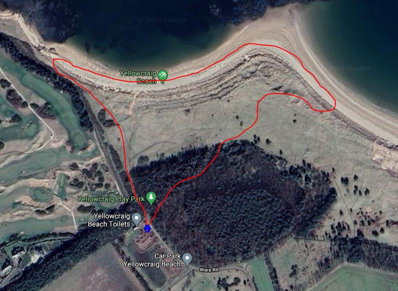
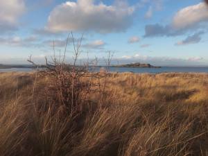
Merry Christmas. Well, that’s me back from Malta, where I’ve been composing THE MALTIAD, & the reason why its been a while since my last post. So where to go first? Well wanting to reconnect with the county & returning in a blast of mild almost spring-like weather, I thought I’d choose the lovely coastal stretch called Yellowcraig to give Daisy a run.
With it being midwinter, the day had already turned 13.30 & having just arrived from Malta I was suddenly surprised by how low the sun was in the sky. Urging my ladylove to get going, seeing as we only had two hours of light left, we began our journey to Yellowcraig. To get there you simply have to travel to Dirleton, which is well signposted across the county. At the eastern edge of the village there’s a signposted road leading to Yellowcraig, which of course you should take.
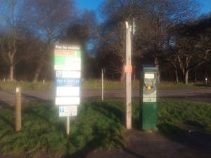
After about a mile of driving, park up in the carpark – which is generally quiet in the week & busy at the weekends. Pay your £2 parking fee with either coins or via the Ringo app, then set off along the path by impressive toilet/shower block. In the Age of Covid its a one-way system, so keep left.
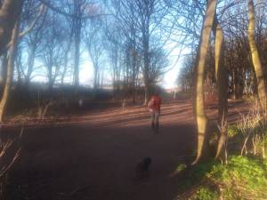
The way to treat the Yellowcraig walk is not one of linear paths, but more one of meanderings & wanderings thro’ set-piece blocks – a choose your own adventure if you will. This is also one of the most dog-friendly places in the county, so if you don’t have one of your own, borrow one!
Turn right onto the beach just after here – or just keep walking, its up to you !
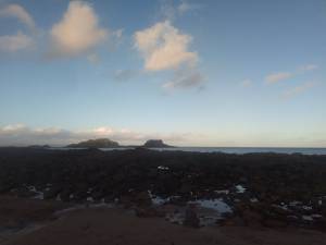
The first block is low lying dunes thro’ which rambles the John Muir Way. I’d follow this until roughly the place where the beach curves round to meet it, then hit the beach. Out at sea from here is the elegant, lighthouse-topp’d islet of Fidra, which ltoday ooked simply stunning in the midwinter sun!
Fidra is uninhabited expect for thousands of birds, & has become a RSPB Scotland nature reserve, from where remotely operated cameras send live pictures to the watching visitors at the Scottish Seabird Centre in North Berwick. Between the shore & Fidra there are puffins in summer, & in winter Curvy Billed Curlews, Redshanks with brightly coloured legs, & the everpleasant Purple Sandpipers.
Fidra’s name is believed to be Old Norse in origin, after feathers, but I’ve come up with an alternate idea. The case revolves around the name Fidra resembling that of Fortriu, which is an antique name for one of the two regions which the Pictish world was divided. In recent years Fortriu has been placed by the Moray Forth on account of an erroneous interpretation of the available sources. Instead, lets look at the information from scratch & see where we end up.
First things first, Fortriu means river of the Fort, clearly the River Forth which starts out in the western belt of Scotland, meanders by Stirling & empties into the North Sea via the Firth of Forth. ‘Riu’ means ‘river’ in Old Occitan, a language spoken in southern France, including the region of Aquitaine. Quite unsurprisingly there is a record of the Picts COMING from Aquitaine, & at a fell stroke we can now see at least one of the lingual roots of Pictish. While Geoffrey of Monmouth describes a certain Goffar the Pict as a king of Aquitaine c.1000 BC, Walter Bower’s Scotichronicon tells us;
After a long time had passed in which the Scots had lived in peaceful & quiet prosperity, a certain unknown people, later called the Picts, appeared from the lands of Aquitania & landed on the Irish shores
It is now time to analyze the Annals of Tigernach definition of Bruide as a ‘king of Fortriu.’ The title essentially means the king of a united realm of Pictavia whose core was the River Forth, rather like Prussia would unite the disparate German principalities under one flag. In the First Century AD, Tacitus described a number of tribes in Pictavia, but by Columba’s time, they were down to two power blocks, North & South. Bede tells us;
There came from Ireland to Britain a priest and abbot named Columba, a true monk in life no less than in habit, to preach the word of God in the lands of the Northern Picts, these are by steep and rugged mountain separated from their southern regions. The Southern Picts, who have their own seats within those same mountains, a long time before, they say, had abandoned the errors of idolatry and accepted the true faith through the preaching of the Word by bishop Nynia…
These two power blocks were given names. Cassius Dio (3rd century) calls them the Maiatai & Kaledonioi, while Ammianus Marcellinnius (4th century) calls them the Verturians & Dincaledonus. The idea we get is that the Maiatai/Verturians were to be found near the Antonine wall, ie near the Central Belt & the Forth River / Fort-Riu. Indeed, the major Pictish capital of Forteviot would herald from this time.
In Britain there are two very large (free) nations, the Caledonians and the Maetae, and the names of the others have become included in these. The Maetae live by the wall which divides the country into two halves and the Caledonians beyond them; and they both inhabit wild and waterless mountains and lonely and swampy plains, without walls, cities, or cultivated land Cassius Dio
At that time the Picts, divided into two tribes, called Dicalydones and Verturiones, as well as the Attacotti, a warlike race of men, and the Scots, were ranging widely and causing great devastation Ammianus Marcellinus
That the Meatae & the Verturiones originated from the same place – ie the Forth river system, is supported by the summit of Dumyat hill in the Ochils, overlooking Stirling, where the remains of an iron-age fort can be found. There is also a Myot Hill near Falkirk.
By the early tenth century, an area known as The Plains of Fortrenn / Wertermorum’ was being mentioned. This was, in essence, the breadbasket of the Picts in the fertile lowlands in Aberdeenshire & Moray. In his account of Aethalstan’s invasion of Scotland, Symeon of Durham tells us, ‘he then subdued his enemies, laid waste to Scotland as far as Dunfoeder & Wertermorum with a land force, & ravaged with a naval force as far as Caithness & in a great measure depopulated it.’ The mention of Dunfoeder is interesting – this is Dunottar, on the east coast near Aberdeen, & its conquest by our very own ‘Bruide… king of Fortriu,’ alongside other Pictish conquests north, south & west, seems to indicate the moment when the realm of Fortriu conquered the whole of Pictavia. The Annals of Ulster tells us;
AU681: The siege of Dún Foither AU682: The Orkneys were destroyed by Bruide AU683: The siege of Dún At and the siege of Dún Duirn
The lazzeretto, Malta, where Byron stayed for 18 days on the return leg of his Grand Tour, 1811
Finally going back to our lovely walk, with the sun ominously low in the sky. on early Fidra a lazaretto for the sick was dedicated in 1165 to St Nicholas. Lazaretto is Italian for quarantine & on my visit to Malta I check’d out the Lazzeretto on Manuel island where Lord Byron had to quarantine, & wrote the following sonnet.
QUARANTINE
Byron, visiting Valletta today, Would have stay’d at the starr’d Excelsior Not in the Lazzeretto’s humid spore, Quarantining quotidian malay, The smok’d sheets of Childe Harolde on display Like kippers hung a few foot from the floor Four tortoises escap’d his portmanteaux To gallavant in inches tray to tray Of barely edible vegetables While chattering teeth, linen soak’d in sweat, Vesuvian fevers screeching, “YOU LIVE YET!” Pulp the blood of malarial nobles Whose viper bite the very veinflow burns That even a starving mosquito spurns!
I’m still not happy with closing couplet, btw. I know this sonnet has nothing to do with East Lothian, but the size & shape of our county is actually very similar to that of the Maltese archipelago, something I’ve often thought during my ramblings around East Lothian.
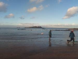
Leaving the remarkable prospect of Fidra, as you head east along the beach both the sands & a great prospect opens up. North Berwick Law is unmissable, while two more small islands pop into view – Craigleith in the distance & Lamb’s island closer by. Lamb’s Island was recently bougth by Uri Geller, who is convinced that it has something to do with Princess Scota.
Lamb’s Island, Craigleith & Bass Rock
I have heard it said that the bloodline of the Scottish Kings — and so that of Queen Elizabeth II herself — can be traced back to the pharoahs and to the Jewish patriarch Noah, of Noah’s Ark, through an ancient Prince and Princess called Gaythelos and Scota. I like to think that when they landed in Scotland, the first place they moored was in the Firth of Forth, off Lamb Island.
In truth, Scota was an Egyptian Princess called Neferubity who never actually got as far as Scotland (her descendents did) – but that’s another story. Geller was first alerted to the existence of Lamb Island by a story in the Times on October 19, 2008, which said a Brazilian-born internet entrepreneur, Camilo Agasim Pereira, who owned the title of Baron of Fulwood and Dirleton, was planning to sell the island. He had been bequeathed it in 2002, and had never set foot on it. Agasim-Pereira now lives in Florida. “The asking price was £75,000, but after negotiations we were able to settle on a fee of just £30,000,” Geller said. “This island has links not only to the pyramids, but to King Arthur, King Robert the Bruce and to the ancient Kings of Ireland too. It might seem forbidding, and it is certainly uninhabitable, but it is also one of the keystones to British mythology, and I am thrilled to be its owner.”
Geller is fascinated in Ley-lines, which might be right but outwith my own remit for investigations, but there’s definitely something in the islands of Fidra, Craigleith & Lamb’s being sited in precisely the same crooked line that marks the layout of the Pyramids at Giza, built by the Pharoahs 4,500 years ago, which in turn matches the three stars known as Orion’s Belt – (Alnitak, Alnilam and Mintaka. Also, a line extended from the Isle of May through Lamb Island will cross Tara, the burial place of the ancient Irish kings. “I am a deep believer in what Carl Jung called synchronicity, the power of connections between things which are linked by forces we don’t understand,” said Geller, who lives with his wife Hanna in a manor house in the Berkshire countryside, beside the Thames. “And there are many clear synchronicities that come together on Lamb Island.”
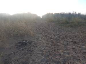
As for Walking East Lothian, you could literally walk all the way to North Berwick along the sands, but remember the car is in the carpark, to where we should now be heading. So just after the beach does a wee curve towards North Berwick, about 50-100 metres along the dunes there is a steep path leading into them – take this.
Looking back the way we came – the sandpath is hard to your left
We have now reached the penultimaate ‘block’ of our walk, where one should meander to the naturally raised viewpoint where you may absorb the total panorama for a few more moments of joy!
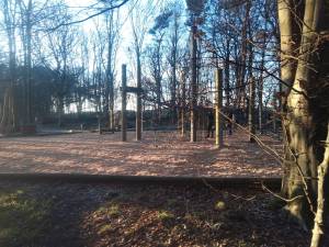
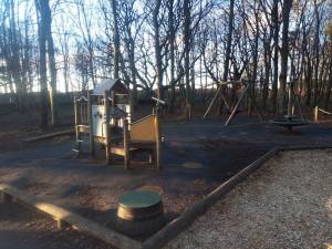
Its time, now, to head towards the signpost pointing the John Muir Way in both directions. Once here, turn right, follow the path over a bridge & a litle later on the left a great hole in the walls appears. Take this & head into the woods.
This is the final block before the carpark, so once again pick your own route. If you’ve got kids let them amble playfully awhile, giggling like flutes, in the very excellent playpark there. Then find your car & head off home, or to another of East Lothian’s country carparks where your £2 will last all day!
This next walk consists of a fair meander about picture-perfect village of East Linton, We’ve been here before, on the Gododdin trail, but in the process bypassed many of the village’s best aesthetic curios. Leaving no stone unturned, then, lets head back to that time picturesque capsule of a settlement for another look. Apologies for the quality of the photos, by the way, my camera took a bit of a knock over the summer, I’ll sort it out for the next time.
This next walk is perfect for those readers wanting to hit East Lothian, but have no car. The village of East Linton is well served by bus – sadly the station is still closed – with busses running between Edinburgh & Dunbar (the X7) & even as far as Berwick-upon-Tweed (the 253).
So we begin at the the Mart – there’s a bus stop there & plenty of places to park. You will immediately notice a ‘Space Invader’ shaped building,
The (Old Auction) Mart was once the centre of East Linton – a bustling agricultural destination; a place to meet, trade, learn and chew the fat. So bless the local community for bringing it back to life. Originally known as Knowe’s Farm Shop, the Mart now contains a post office & a cool deli & a few other bits & pieces to complement one’s weekly shop. If you turn up on a Saturday or Sunday there’s also some cool stalls snaking aroud the Mart – the evolution of the East Fortune market, like a Byzantine empire after Rome. If you come in the evening’s you could also enjoy Wok & Go’s really tasty cooking on the bus itself, a wonderful culinary addition to this part of the county.
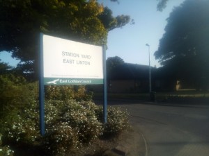
After stocking up on butties, crisps & pop, or whatever, its time to head off out along the walk. To begin, head to the road entrance & turn left i teh general direction of Dunbar. A short wee while later you’ll see a sign reading STATION YARD – turn off the main road here.
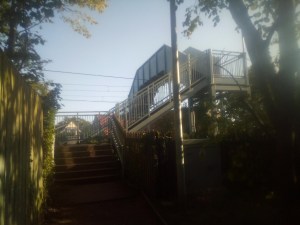
You will sooon see a ginnel – take this & climb up & over the bridge across the railway. Below you’ll see the remnants of the old train station, a sad loss to the area. It served the village & surrounding area between 1846 and 1964. The initial service was of five trains each way on weekdays, and two on Sundays. Alongside East Fortune station it was closed by the Beeching Report, but Transport Scotland and East Lothian Council are hoping to integrate the construction of a new East Linton Railway Station within a larger programme of works over the next few years Contractors started survey work in early 2020 at the proposed site of the station, which is due to be further west of the old station site
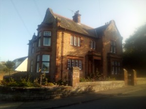
The old bank
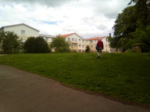
Back on our walk, once reclaiming terra firma, carry straight on, passing the bowling club on your left. On reaching the old Bank of Scotland building – which was active only a few years ago – turn left & head into East Linton’s fine, spacious park. This area of level verdancy is a real social hub & it seems at one part of the day every East Lintonite pops their head in for a smile, a chat & a cheerio!
At the heart of the park stands the fantastic architectural gem that is the primary school, a Victorian stone single storey building which was built in 1880. Its academic cloisters fed the burgeoning brainblossom of a world famous mathematical emeritus, John Aitchison, who was born in the village July 1924.
By 1952 a long & distinguished career had begun for Aitchison, who was appointed as a statistician in the Department of Applied Economics at the University of Cambridge & began to publish papers such as ‘On the distribution of a positive random variable having a discrete probability mass at the origin‘ (1955). Of his later work with Alan Brown , John Creedy writes; ‘this book has perhaps reached the point of being a ‘classic’ in the econometrics literature,’ but lets not got bogged down in statistics, or rather statisticians, & continue our gorgeous late summer saunter.
It is now time to leave the park, & you’ll proceed by taking some kind of pedestrian bridleway on your left. This eventually leads into an are of houses – find a street called LANGSIDE & follow its line of cottages towards one of East Linton’s main artery roads. Turning right you begin heading into the village centre, but as soon as you come to a junction, take the left road – its sign posted SMEATON.
Follow this new road – the fairly busy ‘Preston Road’ – for a wee while until you come to an entrance to the church. This is Prestonkirk & knock yourselves out for a bit in the kirkyard if you so wish.
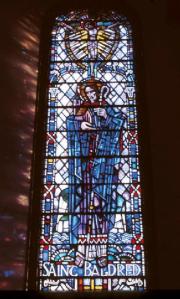
East Linton is today a part of the Church of Scotland Parish of Traprain – Presbyterian in government and Reformed in theology – a union of three ancient parishes; Prestonkirk, Stenton and Whittingehame. Prestonkirk is one of the oldest Christian sites in the county, & was founded along with Tyninghame, Whitekirk & Auldhame by the very early Saint Baldred, the “the Apostle of the Lothians.” There is a little confusion whether he was 6th or 8th century, but whichever era he was active in, he was certainly an inspirational figure.
While Hector Boece claims he was a convertor of the Picts in Pithland, the earlier name for the Lothians, Simeon of Durham says that “the boundaries of his pastorate embraced the whole land which belongs to the monastery of Saint Balther, which is called Tyninghame – from Lammermuir to Inveresk, or, as it was called, Eskmouthe.” He is said by early historians to have died in 756, by the Aberdeen Breviary associates him with the sixth century Saint Kentigern. It reads;
Being eminently devout, he renounced all worldly pomp, and, following the example of John the Divine, resided in solitary places, and betook himself to the islands of the sea. Among these he had recourse to one called the Bass, where he led a life without all question strict and contemplative, in which for many years he held up to remembrance the blessed Kentigern, his instructor, in the constant contemplation of the sanctity of his conduct.
Following Baldred’s death on the site of this chapel, there was a dispute between the parishes of Auldhame, Tyninghame and Prestonkirk, as to which should have his body. The story goes that by the advice of a holy man, they spent the night in prayer. In the morning three bodies were found, in all respects alike, each in its winding sheet, prepared for burial. The story was probably invented to explain the claims of each church to house the shrine of Saint Baldred.
This brings me to one of the great colections of East Lothian poetry, by a certain James Miller, entitled, ‘St. Baldred of the Bass. The Siege of Berwick, with other poems and ballads, founded on local traditions of East Lothian and Berwickshire. ‘ A weighty title & real storehouse of county knowledge, which you can read in full here. Of the Baldred poem, it is composed chiefly in the Spenserian stanza, quite a florid & electric piece really, as in;
He was a star in reason’s dawning day, That led the savage hordes of human kind, Ere Learning poured her intellectual ray Like light from heav’n upon the vacant mind : Then God was heard in thunder or the wind, While meteor forms did aerial conflict wage ; As tattooed groups upon the shore reclin’d, Listened the mystic lore of Runic sage, Cull’d from the Scandinavian’s darkest pagan page.
He travelled paths untrod, o’er mountains bare, To preach the gifted creed to barbarous men ; His food alone the jetty juniper That blossom’d on the steeps of Lammer’s glen ; He dragged the savage from his gloomy den, In silken chains his wayward passions bound, While Hope’s bright rainbow glitter’d o’er the fen, And Mercy scatter’d pearls upon the ground, Where erst dark Odin’s chiefs in blood-stain’d garments frown’d.
Follow Daisy
Leaving the kirkyard & entering the car park, you’ll notice a space in the wall which leads into a big field – take this & skirt the field to your right. Once it reaches the wood, you should enter this little realm of dryads, beyond which is the Smeaton Road. There’s a nice path running through the woods, so follow this for a little while beforestepping out onto tarmac.
Once on the road, turn left & head up the gentle hill towards Smeaton. Once over the cattle-grid, dogs should be popped on leads as there are not a few sheep shuffling about these parts.
You soon come to a show jumping field, which you should enter on your right. This is where I put Daisy’s lead on & she wasn’t impressed!
Walk through the field until you come to a gate in the wall by a white bench (beyond the gate), through which is some pleasant woodland. Enter here & turn left. You now arrive at Smeaton Gardens Nursery – I think its one of the best garden centres in the county; a joy to get to, over 50 years experience, really pretty aesthetically, & its has some truly wicked begonias. There’s also an idyllic Victorian conservatory tearoom which is worth going to even if you dont like perusing thro’ petulias.
The Smeaton Estate belonged to the Hepburn family for 400 years, & has been owned and run by the Gray family since 1934 & is home to a variety of wildlife (including both fallow and roe deer) and the not so wild (Highland cows).Sadly, the old mansion house was demolished in the 1950s, but there is still a secret treasure to where you should head to next.
Following the road back towards East Linton, on the right you will come to a gate that leads to some woods – welcome to Smeaton Lake. This is essentially a U-shaped walk around a charming waterscape lined with a Portmeirion of foreign trees, each with their own names pinned in Latin to the bark.
Created way back in 1830, this arboretum has earn’d a place in the National Tree Collection of Scotland, while the collection of rhododendrons and the Snow drop carpets are other high lights at the right time of year! In the winter months the lake was used for curling competitions and continued to do so until 1982. Thus, in the style of Hamlet’s Mousetrap, Smeaton Lake is a stunning walk within a walk!
While wandering the lake I put the finishing touches to a poem I’m writing called ‘To An Englishman with Liberty,’ the opening stanza, which concerns East Lothian, reading;
Sir, did you please your skin ‘Neath Nunraw’s sylvan falls, Or ease your boat within Old Dunbar’s harbor walls, & have you ever gazed On Whittinghame’s strange yew As morning’s chorus lazed, Drunk on a haar’s fresh dew?
Sir, did you stroll the swerve Serving Port Seton’s sands, Invested with the verve East Lothian demands, Like pluckin’ young fungi From Saltoun’s lofty wood, Or gladly ambling by The Younger’s handsome flood?
Sir, did you ever take The views from Deuchrie Dod, & in that moment make A pact with Man & God, To wander to & fro, Record all seen & felt, Until thy senses slow, When mental trances melt.
To an Englishman with Liberty Dost thou ken thy’s a bard? “I do, sir, in my dreams!” You do? By land & sea Ascend art’s boulevard, Upbending via beams Thro’ Heaven thickly starr’d!
Completing your cjourney around the lake brings you back onto the esteate road. Turn right & head down hill, over the cattle grid & back to the main road. Crossing this soon bringy to the sacred site of Saint Baldred’s well – which a thirsty Daisy availed herself of.
From here you head left along the bank of the river, over a wee bridge, then on to East Lothian’s rustic, Harry Potter style water-driven, Preston Mill – Its a musem these days, but the majestic wheel still revolves & alongside the excelllent pictorial displays you really do get a lovely feeling of just being there two hundred years ago.
It is now time to conclude the walk, which means coming back the way we came for a bit, but instead of heading towardssaint Baldred’s Well, aim left towards the white bridge over the Tyne.
Once over the river, aim straight towards Phantassie Farm & its famous, wobble-eyed Doocot. Phantassie Farm and Workshop, presently owned by Hamilton Farmers, is the birthplace and childhood home of the civil engineer John Rennie the Elder (1761-1821), who designed many bridges, canals, docks and warehouses, and a pioneer in the use of structural cast-iron.
Rennie also attained a deserved reputation as a builder of bridges, combining stone with new cast-iron techniques to create previously unheard-of low, wide, elliptical arches, at Leeds Bridge, and in London at Waterloo Bridge (1811–1817), with its nine equal arches and perfectly flat roadway. His later efforts in this line also show that he was a skilful architect, endowed with a keen sense of beauty of design. Waterloo Bridge was considered his masterpiece and was the most prestigious bridge project in England, described as ‘perhaps the finest large masonry bridge ever built in this or any other country’. He also designed the London Bridge that is now in Arizona, constructed by his sons after his death (1830), then dismantled & re-erected in Lake Havasu City in 1967.
Rennie’s London Bridge
Phantassie Doocot is a “beehive” doocot, or dovecote, and is a National Trust for Scotland property, along with the nearby Preston Mill. It was built in the 16th century, and has an unusual parapet in the shape of a horseshoe.
Passing the Doocot & through the farm you’ll come to the Dunbar – East Linton road, so of course turn right here. A quarter of a mile later you’ll come to East Linton’s famous narrow bridge. Peering over the sides to the right is a splendid rocky stretch of the river which swells & rises dramatically with a foaming torrentiality after heavy rains. Its quite a spectacle, & when in a spate I’d put it down as one of the Seven Natural Wonders of Wast Lothian. We’ve already seen one – Nunraw Falls – the rest will come soon enough.
From THE MART website
Just over the bridge is the Linton Hotel – a wonderfully run place with great food, a cool beer garden, & with the bus stop just across the road, a perfect place to wait for transportation out of the ever-charming, never-waning village of East Linton.
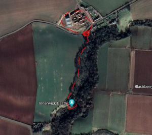
This might be the shortest of all the walks I’ve created, but just like a Wallace & Grommit film its well worth the watch. It begins the pleasantly pleasant hamlet of Crowhill, where you’ll find somewhere to park somewhere, they’re quite a laid back bunch out there in the Nordic reaches of the county.
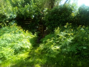
There’s an opening in the verdant wall which is relatively hidden, but quite accessible. Take this & enter Thornton Glen, a wildlife reserve managed by the Scottish Wildlife Trust.
You are then entering a lovely woodland walk which is an explorable bonus to this walk, but for us we’re keeping to the right of the forested valley gouge, just next to the open field.
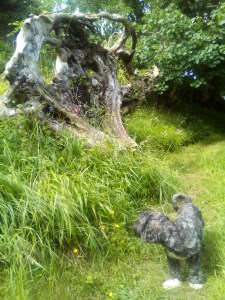
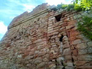
About maybe half a mile later, if that, you arrive at the castle & this is really worth a good wander about in all its nooks & crannies – but be warned its not one for the old vertigo & I recommend dogs on leashes.
Innerwick castle, built in the 14th century on “the edge of a precipitous glen”, was a stronghold of the Stewarts and of the Hamilton family. It was besieged by English forces in 1547 during the Rough Wooing. The garrison was smoked out but the following year it was back in Scottish hands and it was again attacked by an English army headed by Edward Seymour, Duke of Somerset. Whilst the main English assault was targeted against Thornton Castle, on the other side of the ravine, a detachment of Hakbutters were sent to besiege Innerwick. These sharpshooters picked off the garrison as they attempted to defend the site, burnt the castle gate and stormed in. The final defender jumped from the battlements into the ravine, a drop of some 20 metres, but was subsequently killed by the English forces. Innerwick Castle, now in English hands, was slighted and never rebuilt. In the 17th Century Innerwick Castle was on good enough repair that it was used as a base, along with Dirleton and Tantallon, by the Covenanters to harass Oliver Cromwell’s lines of communication during the Wars of the Three Kingdoms.
Once you’ve absorbed the castle – its pretty close to being the finest ruin in the county, well at least the most gothic & romantic – its time to head back to the car. However, if you wanted to stretch your legs a bit longer there’s no harm in a wee potter around a more modern ruin – that of the farm buildings at Crow Hill – a wee circuit of which & a pleasant peering into the North Sea mists should satisfy the sensibilities of all who partook in this walk.
Then, of course, its just a wee drive downhill to my favorite beach in the county at Thorntonloch…
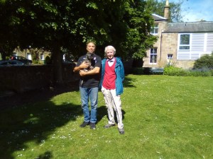
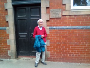
At the start of the Walking East Lothian saga, I took a walk by the River Tyne in Haddington in the most splendidly wintry of conditions. The post was called Beside the Snowy Tyne, & this next walk is something of a sister, entitled Beside the Sunny Tyne. My companion is somebody else from those early walks – Mr John Wood, who accompanied us around Humbie Church Wood. I can’t help myself, I always have to prefix his name with a Mr – down quite simply to the immense respect I have for the man.
Mr John Wood loves Daisy, saying she is the best behaved & friendliest dog he has ever encountered, which always wins points with me! Seeing as he is an octogenarian, he must have seen a lot of dogs! He is also a native Haddingtonian/Haddingtonite (I don’t actually know the correct term), & with the local history library being closed, I thought I would pick at the pages of human memory embedded in my friend’s ever ebbulient mind.
So to the walk, on a rare summer’s sunny day. It begins at the main crossroads of Haddington, just before Victoria Bridge. There’s loads of places to park in the town & you get 90 minutes free.
At the pedestrian crossing there is a terrace-house lined close – Gowl Close – which leads to the river. Take this.
At the end of the tunnel-like close, turn right & you’ll now find yourself by the Tyne itself. Continue forward along the twisting turning path until it breaks out into a tad more spacious greenerie.
You will soon come across a building on the right. This is the old fire station with its hose drying house, now a cool arts & craft store.
Just beyond this is the old bowling green, with access from the road. Its a great meet & greet place for dogs & also Mr John Wood, who joined me & Daisy here. He was happy to, because this was the favorite walk of his sadly-missed wife, Sheena.
The merry gang reunited
Back to the riverside we ambl’d gently, passing the old packhorse bridge & admiring the Waterside Bistro across the waters, & the swans who come back every year to further their signet dynasties. Lots of waterfowl make the scene a doolittle’s worth of admiration.
That side of the river, Mr John Wood told me, was the Nungate, which is a seperate barony with its own gala. This is the special tartan made for the gala last year.
In 2018 a call was made for Nungate residents to come up with their own design for a Nungate Tartan. More than a dozen entries were submitted, with the design of local resident Kate Cowan coming out on top. The concept was then registered and produced by Strathmore Weavers. “The Nungate has a long history and has always had a strong identity of its own,” said Liz McDougall, chairwoman of the Nungate Gala Committee.
Back on this side of the river we pass the wonderfully titled ‘The Collegiate Church of St Mary the Virgin.’ It is a great architectural gem, the which began life in 1380 & contributed to the status of Haddington asd one of Scotland’s most important burhs. Indeed, it is Caledonia’s longest church at 206 feet (62.8 metres) from east to west.
Official Christianity in Haddington goes back even further, for there is record of the church in Haddington in a charter of David I of Scotland dated 1139, giving the monks of St Andrews Cathedral Priory the benefits of its revenues. The king granted unam mansuram in Haddington, as well as to the monks of Haddington a full toft “in burgo meo de Hadintun, free of all custom and service”.
The church is also home to some of the crown jewels in the Lammermuir Festival, a couple of which I’ve reviewed in recent years. Here’s one in full, from 2017.
The Lammermuir Festival, under the patronage of Steven Osborne, is East Lothian’s answer to a night of high culture on the town, but scattered amongst the splendidly carved architectural delights of Scotland’s greenest county jewel. Over the weekend, I managed to catch a couple of this year’s outings; the opening concert by the BBC Scottish Symphony Orchestra in the antique, cavernous & elegant parish church of St Mary’s in Haddington; & the much smaller, but equally as pretty-a-place-to-be church that is Dirleton Kirk. Both events were packed out & both selections of music were outstanding, as walls & rooves made to reflect choirs & ministerial preachings were all set to amplify & imbue with beauty the dancings of the reeds & strings.
Martyn Brabbins & the BBC-SSO
At St Mary’s on the Friday, I was furnish’d with a fine three-course feast all cooked up for our delectation by conducting master-chef, Martyn Brabbins. For starters we had two slices of Wagner; The Prelude & Liebestod from Tristan und Isolde, both of which leapt upon the delicious acoustics of the kirk like young & playful embattling stags. As soon as the Prelude began we were all rooted to the spot, the music wafting over us as if fanning our cheeks on a warm summer’s eve. This opener – to both opera & festival – then grows in intensity until the cosmic, oversensual climax, & we were off, the Lammermuir Festival of 2017 was under way.
Rowan Pierce
The next course consisted of three arias by Mozart, exceptionally sung by the young & meteorically rising talent that is soprano, Rowan Pierce. A Samling artist, she had won the first Schubert Society Singer prize at the London Song Festival in 2014, & one soon understood why as the ghosts of choirboys past lifted her angelically jasmine voice to the rafters & beyond. After an interval of exquisite honeycomb ice-cream & polite chitter-chatter, the third course was served, Mahler’s sleigh-bell jangling, soul-pounding four-part Symphony Number 4. Each of the four movements were played with both neat precision & piece-specific bombast, & the hour simply flew by upon electric wings.
The next night I drove for the first time to Dirleton, a wondrous little place, rather like a Mendips village, quite untouched by modernity, in whose kirk I would be nestling for a while. The reason was to be the Hebrides Ensemble, eight extremely talented musicians who would make Schubert’s Octet in F Major their own. Prior to this was a wee waltz though the short Rhapsodic Quintet of enigmatic 20th century composer, Herbert Howells. One can really feel the burgeoning century’s love-affair with new music in his notes, all of which are most serendipitous to hear. To listen to this particular piece is to enter a dream-bending drama, a darkly dancing-carousel & an exceptional exposition of the full range & capabilities of the Quintet.
Martyn Brabbins & the BBC-SSO
To the main action, then, & the Octet – a brazen attempt to out-Beethoven Beethoven – offers the hearer a growing & continuous delight. The opening note drills a hole into the psyche, through which pours wave after wave of Schubert’s melodic genius. Sometimes eyes were closed, sometimes they were gazing at the buttermilk walls, sometimes they were watching Enno Senft wield his double-bass like a medieval potter’s wheel. I felt my imagination hurrying through time to the dances of Regency England, & recreating the dance moves of gallant lords & passionate ladies in my mind. From the Allegro Vivace onwards, this Octet is near perfect, almost otherworldly in its brilliance, full of fluttering phrases & feet-thumping rhythms. Combine all this musical manna with the location & an ephemeral 80 minutes, then a simply wonderful time is had by all.
This was my first taste of the Lammermuir Festival, & I recommend it most heartily. East Lothian is a fascinating & quite frankly gorgeous corner of God’s green earth, & an excuse to wander its contours is to be well-received. Mix into this several heady portions of classical music excellently chosen, excellently played & most warmly appreciated, then one cannot fail in feeling rather exultant about life. Indeed, one could fall in love on evenings like these.
Back on the walk with Mr John Wood, as the path snakes beyond the church it opens out into a large green area which plays host to public events such as last year’s fun Roman encampment.
It also has a few steps leading down to a sub-rivulet of the Tyne where in aulden days, according to Mr John Wood & even before his time, the womenfolk of Haddington would gather to do their washing, rather like the modern Indians do in their rural villages.
Taken by the author near Gwalior, 2014
Afterwards, our East Lothian ladies would have dried their clothes on many washing lines strung about the green, two of which still remain on the other side of the Waterloo bridge.
Passing under that graceful single segmental arch, with dressed-stone arch ring and coursed-rubble spandrels and wing walls is the best way to continue the walk.
Although its possible to cross the road at the Poldrates Mill area. This is a cool spot, by the way, with the old waterwheel still visible. Closed in the 1960s (Mr John Wood’s old neighbour’s father was a miller), Poldrates Mill is now at bastion of the arts, while the old Tyneside Hotel is divided into two – a residential half & a restauranty half, which has had several owners over the years. Personally I think it would be best used as a small theatre but that’s just my arty bent!
The drying poles
We continue now past the row of trees all planted to mark certain parts of Queen Victoria’s reign – the original iron lady & empress of all she surveyed on her ornate maps. Then she sometimes went hunting on the Balmoral estate & spent a lot of the public money on booze.
The Victorian trees on the right
At this point Mr John Wood & I began chatting, as we do, & I quizzed him about the growth of Haddington as a town. He’s all for it, he says, & witness’d first hand the 1960s overspill from Glasgow & its 250 families, from which came a swelling of membership in all the local societies, such as the dramatic & the oepra groups. He also commented on the introduction of bus shelters to keep the swelling populace dry, & the lowering of the pavements for the disabled – I just love that stuff!
The remnants of the pre-flood (1948) bridge
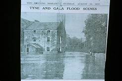
The path eventually comes to the bridge which leads south to Lennoxlove & the Gododdin Heritage Trail. Here Mr John Wood showed me the foundations of the old bridge, sleeping under the river surface like crocodiles. It had been swept away by the floods of 1948 – more devastating even than that of 1775.
Back on the Tyne riverpath we soon come to a junction of sorts, on the rigth of which stands a more urbanised area. Entering this world of brick & mortar, Mr John Wood began to regale me more on the great Haddington floods, & showed me the marker on the building where waters reached in 1948.
This building is the 19th century Simpson’s Maltings – a former great employer of the townsfolk which cut & dried the barley used to make whiskey.
It was now time for the loop back to the river walkway & the way we came. To do this you must find a slightly hidden pathway between the swimming pool road & the modern houses.
West Mill
Simpsons Maltings
The entrance to the pathway
Yet there was time for one last beautiful moment with my guide. He showed me a wall with bricked-in windows, remnants of a string of small cottages in which baby John Wood spent the first fews years of his life while his mother was a wever at the nearby West Mill. Discovering that little nugget of Haddington’s history was the reason I invited him along!
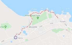
This next walk takes in East Lothian’s best stretch of coastline – its not quite Cape Wrath, but its not a bad attempt at stirring the soul with rocky coves & rolling waves. It begins at West Barns village, the extreme northern end of the steadily swelling metropolis of the Dunbar conurbation.
Park up in the vicinity of the local shop, across the main road from which is a road called SEA ROAD – which leads, uncoincidentally, to the coast. Take this.
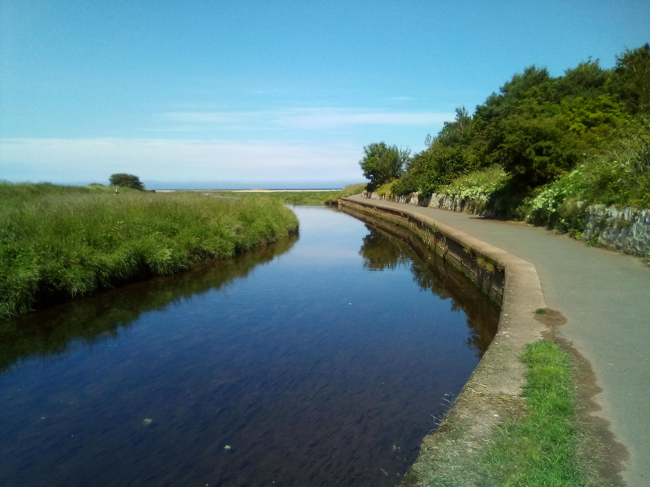
The road soon turns into a path which enters the John Muir Country Park & follows the Biel Water on its final riversprint to Belhaven Bay & the sea.
You will soon come to a bridge over the water, which we will NOT be taking today. It does lead to a lovely romp over sands & waterways, but we’ll save that for another time. Daisy’s only two & a half, there’s plenty of legs left in her yet!
Instead keep on the path as it curvy-curves south, opening up to a long straight section. As you proceed along it, you should be praising the seaflats to the left & the lovely swan-filled lake beside Meadowhead caravan park on the right.
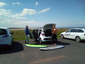
The path soon reaches the fringes of Belhaven village, veering left along the Surf Centre & the ‘Bridge to Nowheere’ which is sometimes the Bridge to Somewhere, tide dependant.
Just over a century ago, Sopwith Cuckoos from East Fortune used the sands at Belhaven during the second half of 1918 for early torpedo dropping trials. A Bessonneau hangar existed here to assist personnel present. The hard, compacted sand of the broad beach was considered suitable for the landing of heavily-laden aeroplanes. Small huts were erected as workshops and servicing was undertaken in a canvas Bessoneaux hangar. Personnel travelled from their living accommodation at East Fortune. Nothing remains of the aerodrome. In the Second World War the beach was obstructed by vertical wooden poles to prevent German aeroplanes from landing.
We have now entered the splendid, blustery, ‘gem’ of Winterfield golf course. Our path essentially follows its coastal edge; heading east then south, passing the kinda spooky clubhouse, a rather fiendishly difficult hole, before rising up to the mini Cape Wrath I mentioned at the start of this post.
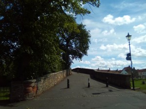
Its now time for a weaving, vertigo-inducing mile or so to Dunbar. Stunning stuff really. Eventually you’ll come to the esplanade with its tall wall on the right.
At one point there’s a hole in the wall which leads to a level stretch of green common. If you’re felling weary, this is the place to rest. have a picnic or summat, then turn back the way you came. Going on to Dunbar & then all the way back to West Barns is quite a hike really, so be warned.
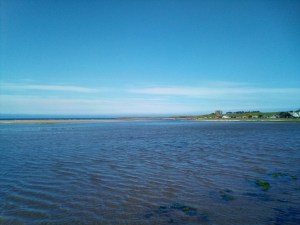
The Haar of Dunbar
So onto Dunbar then. One eventually comes to the first rooves & houses of the town, which leads to more windings & headlands & beaches, & its just all so very beautiful.
Turn left here
The final stretch of coastline takes you to the rear of the swimming pool, at which point you’re just about to burst onto Dunbar’s ever burgeoning high street. We’ll look at Dunbar another time, I’m contemplating doing town walks for 2021, so maybe next year. Until then, tho, all I can do is direct you to the shops & chippies on the high street, where there’s also buses which take you to back to West Barns for those who don’t fancy the trek back! These are the X7 106, the 253, the 130 & the 120 – timetables of which can be found here.